Category:1916 U.S. presidential election maps
Jump to navigation
Jump to search
Subcategories
This category has the following 2 subcategories, out of 2 total.
Media in category "1916 U.S. presidential election maps"
The following 9 files are in this category, out of 9 total.
-
 1916 Electoral Map.png 1,182 × 635; 173 KB
-
 1916 Presidential Election in Massachusetts By Municipality.svg 810 × 502; 185 KB
-
 1916 US Presidential Election in Florida by county.svg 800 × 769; 2.21 MB
-
 Electoral College 1916.svg 1,182 × 593; 245 KB
-
 Electoral Map of 1916 Election (4454343691).jpg 2,989 × 2,297; 1.14 MB
-
 ElectoralCollege1916-Large.png 1,182 × 635; 98 KB
-
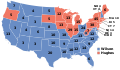 ElectoralCollege1916.svg 1,020 × 593; 25 KB
-
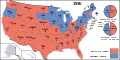
 Map of USA presidential elections 1916.PNG 280 × 183; 13 KB
-
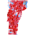 Vermont Presidential Election Results 1916 by Municipality.svg 810 × 810; 106 KB


.jpg)


