Category:1792 U.S. presidential election maps
Jump to navigation
Jump to search
Media in category "1792 U.S. presidential election maps"
The following 8 files are in this category, out of 8 total.
-
 PresidentialCounty1792Colorbrewer.gif 2,800 × 1,700; 53 KB
-
 1792 United States presidential election by county.svg 800 × 773; 16.8 MB
-
 1792 United States presidential election by electoral district.svg 800 × 773; 15.17 MB
-
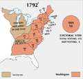
 1792POTUSElection.svg 512 × 428; 21 KB
-
 ElectoralCollege1792-Large.png 675 × 636; 53 KB
-
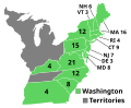 ElectoralCollege1792.svg 542 × 446; 39 KB
-
 Maryland Presidential Election Results 1792.svg 512 × 271; 11 KB
-
 PresidentialCounty1792.gif 2,800 × 2,200; 84 KB


