File:Map France 1030-uk.svg
Jump to navigation
Jump to search

Size of this PNG preview of this SVG file: 527 × 600 pixels. Other resolutions: 211 × 240 pixels | 422 × 480 pixels | 675 × 768 pixels | 900 × 1,024 pixels | 1,800 × 2,048 pixels | 988 × 1,124 pixels.
Original file (SVG file, nominally 988 × 1,124 pixels, file size: 789 KB)
Captions
Captions
Add a one-line explanation of what this file represents
Summary
[edit]
| Description |
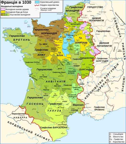
Українська: Мапа Франції 1030 року |
| Date | |
| Source | Own work |
| Author | Gzhegozh |
Licensing
[edit]
I, the copyright holder of this work, hereby publish it under the following licenses:

|
Permission is granted to copy, distribute and/or modify this document under the terms of the GNU Free Documentation License, Version 1.2 or any later version published by the Free Software Foundation; with no Invariant Sections, no Front-Cover Texts, and no Back-Cover Texts. A copy of the license is included in the section entitled GNU Free Documentation License. |
This file is licensed under the Creative Commons Attribution-Share Alike 3.0 Unported, 2.5 Generic, 2.0 Generic and 1.0 Generic license.
- You are free:
- to share – to copy, distribute and transmit the work
- to remix – to adapt the work
- Under the following conditions:
- attribution – You must give appropriate credit, provide a link to the license, and indicate if changes were made. You may do so in any reasonable manner, but not in any way that suggests the licensor endorses you or your use.
- share alike – If you remix, transform, or build upon the material, you must distribute your contributions under the same or compatible license as the original.
You may select the license of your choice.
File history
Click on a date/time to view the file as it appeared at that time.
| Date/Time | Thumbnail | Dimensions | User | Comment | |
|---|---|---|---|---|---|
| current | 10:59, 8 November 2022 | | 988 × 1,124 (789 KB) | Gzhegozh (talk | contribs) | Uploaded own work with UploadWizard |
You cannot overwrite this file.
File usage on Commons
The following page uses this file:
File usage on other wikis
The following other wikis use this file:
- Usage on uk.wikipedia.org
Metadata
Categories:
- SVG maps of the history of France
- Ukrainian-language SVG maps showing history
- Maps of France in the 11th century
- Maps showing 11th-century history
- Maps showing 1030
- County of Champagne
- Maps of the county of Flanders
- Duchy of Burgundy
- County of Burgundy
- Kingdom of Burgundy
- Duchy of Brittany
- Duchy of Normandy
- Maps of the history of Lorraine
- Maine (province)
- County of Anjou
- Marche (province)
- Nivernais
- Bourbonnais
- Maps of Poitou
- Angoumois
- Saintonge
- County of Auvergne
- Forez
- Maps of Limousin
- Maps of the history of Provence
- Kingdom of Navarre
- Maps of the County of Barcelona
- County of Toulouse
- Maps of Gascogne
- Maps of the kingdom of France
- Roussillon