File:Arizona. LOC 99446126-11.jpg
Jump to navigation
Jump to search

Size of this preview: 475 × 599 pixels. Other resolutions: 190 × 240 pixels | 381 × 480 pixels | 609 × 768 pixels | 812 × 1,024 pixels | 1,624 × 2,048 pixels | 4,883 × 6,157 pixels.
Original file (4,883 × 6,157 pixels, file size: 6.27 MB, MIME type: image/jpeg)
Captions
Captions
Add a one-line explanation of what this file represents
Summary
[edit]| Description |
English: Available also through the Library of Congress web site as a raster image. NDL use only, NOT FOR DISTRIBUTION |
||
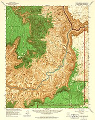
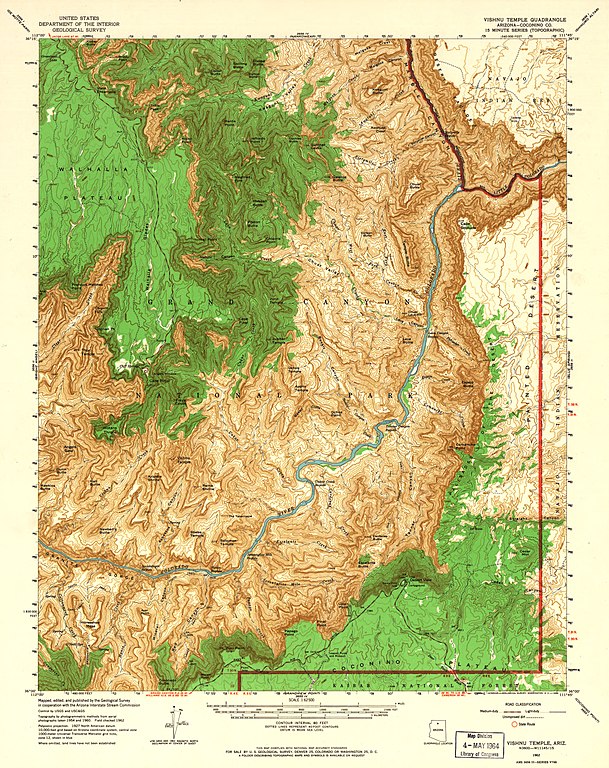
| Title | Arizona. | ||
| Shelf ID | G4330 s62 .G4 TIL | ||
| Parent | https://www.loc.gov/resource/g4330m.gnp00005/ | ||
| Sheet title | Scale 1:62,500. (1962) - Vishnu Temple | ||
| Date | |||
| Source | https://www.loc.gov/item/99446126/ | ||
| Author | Geological Survey (U.S.) | ||
| Permission (Reusing this file) |
|
||
| Other versions |
|
||
| Location | United States · Grand Canyon Region · Arizona | ||
| Part of | American Memory · Catalog · Mapping The National Parks · Geography And Map Division · Additional Conservation And Environment Cartographic Items | ||
| Subject | United States · Grand Canyon Region · Arizona · Maps, Topographic |


Licensing
[edit]
This work is in the public domain in the United States because it is a work prepared by an officer or employee of the United States Government as part of that person’s official duties under the terms of Title 17, Chapter 1, Section 105 of the US Code.
Note: This only applies to original works of the Federal Government and not to the work of any individual U.S. state, territory, commonwealth, county, municipality, or any other subdivision. This template also does not apply to postage stamp designs published by the United States Postal Service since 1978. (See § 313.6(C)(1) of Compendium of U.S. Copyright Office Practices). It also does not apply to certain US coins; see The US Mint Terms of Use.
|
 | |
| This file has been identified as being free of known restrictions under copyright law, including all related and neighboring rights. | ||
File history
Click on a date/time to view the file as it appeared at that time.
| Date/Time | Thumbnail | Dimensions | User | Comment | |
|---|---|---|---|---|---|
| current | 09:30, 2 August 2018 | | 4,883 × 6,157 (6.27 MB) | Fæ (talk | contribs) | LOC Maps multisheet https://www.loc.gov/item/99446126/ sheet 11 of 12 #11 |
You cannot overwrite this file.
File usage on Commons
The following page uses this file:
File usage on other wikis
The following other wikis use this file:
- Usage on de.wikipedia.org
Categories:
- Maps in the Library of Congress
- Topographic maps of Arizona
- Maps of the Grand Canyon
- Walhalla Plateau
- Alsap Butte
- Naji Point
- Chuar Valley
- Juno Temple (Grand Canyon)
- Cape Final (Point)
- Jupiter Temple
- Kwagunt Butte
- Awatubi Creek
- Sixtymile Canyon
- Sixtymile Creek
- Sixtymile Rapid
- Chuar Butte
- Little Colorado River
- Cape Solitude
- Temple Butte
- Lava Butte (Grand Canyon)
- Cape Royal
- Freya Castle
- Vishnu Temple, Grand Canyon
- Asbestos Canyon
- Krishna Shrine
- Rama Shrine
- Angels Gate
- Wotans Throne
- Bright Angel Shale bedding
- Bright Angel Shale slopes
- Hall Butte
- Vishnu Canyon
- Vishnu Creek
- Newberry Butte
- Red Canyon (Arizona)
- Moran Point
- Zuni Point
- Hance Rapid
- Papago Point
- Pinal Point
- Lipan Point
- Escalante Butte
- Tanner Canyon
- Navajo Point
- Desert View (Grand Canyon)
- Views from Desert View (Grand Canyon)
- Venus Temple
- Apollo Temple
- Basalt Cliffs
- Ochoa Point
- Tanner Rapids
- Palisades Canyon
- Palisades Creek
- Comanche Point
- Comanche Canyon
- Comanche Creek
- Espejo Butte
- Basalt Canyon
- Basalt Creek
- Unkar Canyon
- Unkar Creek
- Unkar Delta
- Unkar Rapids
- Seventyfive Mile Rapids
- Seventyfive Mile Rapid
- Seventyfive Mile Canyon
- Seventyfive Mile Creek
- Shoshone Point
- Palisades of the Desert
- Views from Palisades of the Desert
- Dunn Butte
- Hawkins Butte
- Grandview Point
- Sheba Temple
- Solomon Temple
- Cottonwood Canyon
- Cottonwood Creek (Arizona)
- Horseshoe Mesa
- Hance Canyon
- Hance Creek
- Grandview Trail
- Carbon Creek
- Chuar Lava Hill
- Carbon Canyon
- Chuar Creek
- Lava Canyon
- Lava Canyon Rapids
- The Howlands Butte
- Clear Creek Canyon (Arizona)
- Eightythree Mile Canyon
- Grand Canyon, North Rim
- Grand Canyon, East Rim
- Grand Canyon, South Rim
- Bradley Point
- Views from Cape Royal
- Views from Cape Final
- Eightyone Mile Canyon
- Thor Temple
- Ariel Point
- Francois Matthes Point
- Cheyava Falls
- Honan Point
- Malgosa Crest
- Nankoweap Mesa
- Kwagunt Rapids
- Malgosa Canyon
- Malgosa Creek
- Awatubi Canyon
- Tanner Graben
- Basalt Delta
- Carbon Butte
- Chiavria Point
- Views of Chiavria Point
- Poston Butte (Grand Canyon)
- Hubbell Butte
- Cedar Mountain (Desert View region, Grand Canyon)
- Point Imperial (Grand Canyon)
- Duppa Butte
- Hutton Butte
- Swilling Butte
- Kwagunt Valley
- Kwagunt Canyon
- Kwagunt Canyon (upper canyon)
- Kwagunt Creek
- Tritle Peak
- Roosevelt Point
- Mount Hayden
- Siegfried Pyre
- Siegfried Pyre ridgeline
- Galeros Butte
- Cardenas Butte
- Tanner Trail
- Hancock Butte
- Sullivan Peak
- Nankoweap Canyon
- Colter Butte
- Atoko Point
- Brady Peak
- Walhalla Overlook
- Widforss Point
- Widforss Trail
- Demaray Point
- Views of Honan Point
- Newton Butte
- Pattie Butte
- Newton Butte northeast terminus
- Coronado Butte
- Ayer Point
- Mineral Canyon
- Awatubi Crest
- Views of Atoko Point
- Views of Roosevelt Point
- Gunther Castle
- Remote views of Gunther Castle
- Views of Cape Final (south aspect)
- Vista Encantada (Grand Canyon)
- Red Canyon (upper canyon)
- The Tabernacle
- Sinking Ship (Grand Canyon)