Category:SVG topographic maps of Switzerland
Jump to navigation
Jump to search
Media in category "SVG topographic maps of Switzerland"
The following 15 files are in this category, out of 15 total.
-
 Alpenkarte.svg 3,178 × 1,871; 2.42 MB
-
 CordilleraDeLosAlpes.svg 785 × 557; 23.29 MB
-
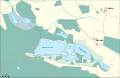 Husemersee und umliegende Weiher.svg 1,228 × 795; 67 KB
-
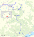
 Karte Albula-Landwasser Kraftwerke.svg 1,034 × 859; 1.05 MB
-
 Karte Engadiner Kraftwerke b.svg 1,322 × 1,380; 3.12 MB
-
 Karte Grand Dixence.svg 1,076 × 655; 1.44 MB
-
 Karte Kraftwerk Wägital.svg 445 × 830; 520 KB
-
 Lagekarte Kraftwerk Göschenen.svg 782 × 618; 852 KB
-
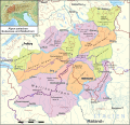
 Lagekarte Kraftwerke Mittelbünden.svg 988 × 1,405; 1.73 MB
-
 Lageplan Maggia Kraftwerke.svg 1,240 × 1,370; 3.14 MB
-
 Oestliche Westalpen.svg 2,341 × 2,252; 3.29 MB
-
 Zurich area topographic map-fr.svg 1,610 × 1,360; 2.54 MB
-
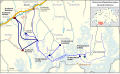
 Topographic map of Battle of Winterthur 1799.svg 1,303 × 827; 2.35 MB
-
 Zurich area topographic map-de.svg 1,610 × 1,360; 2.54 MB
-
 Zurich area topographic map-en.svg 1,610 × 1,360; 2.55 MB


