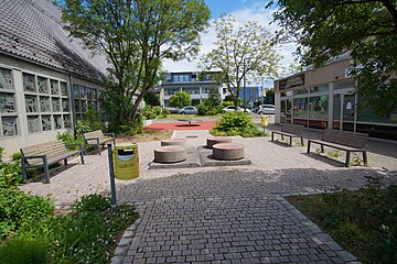
User:Giftzwerg 88/Fotoprojekt Sindelfingen Viehweide
Jump to navigation
Jump to search
| This is a gallery of files created by Giftzwerg 88. |
- Sindelfingen
- Sindelfingen-Darmsheim
- Böblingen/Sindelfingen, Flugfeld
- Sindelfingen, Friedhöfe
- Sindelfingen, Gesundheitssektor
- Sindelfingen-Goldberg
- Sindelfingen-Hinterweil
- Sindelfingen, Kindergärten und Kitas
- Sindelfingen, Kirchen, Andachtsstätten
- Sindelfingen, Kunstwerke
- Sindelfingen-Maichingen
- Sindelfingen, Naturdenkmäler und Schutzgebiete
- Sindelfingen, Parks und Grünanlagen
- Sindelfingen, Schulen und Sportstätten
- Sindelfingen, Shopping Malls
- Sindelfingen, Spielplätze
- Sindelfingen, Stadtteile
- Sindelfingen, Ost
- Sindelfingen, Nord
- Sindelfingen, Strommasten, Umspannwerke und Transformatoren
- Sindelfingen, Viehweide
- Sindelfingen, Corona-Epidemie
Siehe auch Böblingen
Max-Liebermann-Weg[edit]
Viehweide[edit]
Mercure Hotel Bristol[edit]
Ernst-Barlach-Straße[edit]
Reiterhof[edit]
| Object location | | View all coordinates using: OpenStreetMap |
|---|
Hans-Thoma-Platz[edit]
Fußgängerbrücke zur Viehweide[edit]
| Object location | | View all coordinates using: OpenStreetMap |
|---|


