User:Giftzwerg 88/Fotoprojekt Darmsheim
Jump to navigation
Jump to search
| This is a gallery of files created by Giftzwerg 88. |
- Sindelfingen
- Sindelfingen-Darmsheim
- Böblingen/Sindelfingen, Flugfeld
- Sindelfingen, Friedhöfe
- Sindelfingen, Gesundheitssektor
- Sindelfingen-Goldberg
- Sindelfingen-Hinterweil
- Sindelfingen, Kindergärten und Kitas
- Sindelfingen, Kirchen, Andachtsstätten
- Sindelfingen, Kunstwerke
- Sindelfingen-Maichingen
- Sindelfingen, Naturdenkmäler und Schutzgebiete
- Sindelfingen, Parks und Grünanlagen
- Sindelfingen, Schulen und Sportstätten
- Sindelfingen, Shopping Malls
- Sindelfingen, Spielplätze
- Sindelfingen, Stadtteile
- Sindelfingen, Ost
- Sindelfingen, Nord
- Sindelfingen, Strommasten, Umspannwerke und Transformatoren
- Sindelfingen, Viehweide
- Sindelfingen, Corona-Epidemie
Siehe auch Böblingen
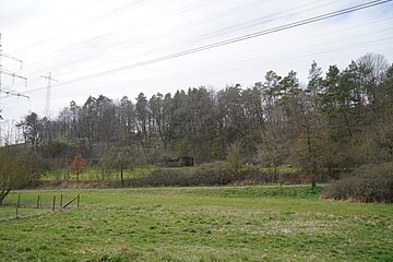
Löchle bei Darmsheim[edit]
| Object location | | View all coordinates using: OpenStreetMap |
|---|
Die zugehörigen Naturdenkmäler (Halbtrockenrasen) sind unter den Naturdenkmälern zu finden
Wechselkrötenteich im Löchle (Darmsheim)[edit]
| Object location | | View all coordinates using: OpenStreetMap |
|---|
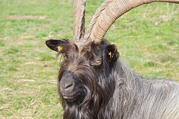
Ziegen im Löchle bei Darmsheim[edit]
Festhütte Löchle in Darmsheim[edit]
| Object location | | View all coordinates using: OpenStreetMap |
|---|
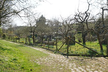
Kleingartenanlage Molte[edit]
| Object location | | View all coordinates using: OpenStreetMap |
|---|
Nordumfahrung und Tunnel Darmsheim[edit]
| Object location | | View all coordinates using: OpenStreetMap |
|---|
Gewässer bei Darmsheim[edit]
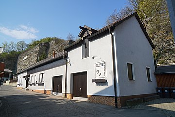
Mundarttheater Darmsheim[edit]
| Object location | | View all coordinates using: OpenStreetMap |
|---|
Steinbruch Schäfer[edit]
| Object location | | View all coordinates using: OpenStreetMap |
|---|
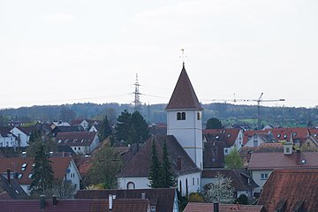
Ansicht von Darmsheim[edit]
Verein für Obstbau[edit]
| Object location | | View all coordinates using: OpenStreetMap |
|---|
Turn- und Festhalle[edit]
| Object location | | View all coordinates using: OpenStreetMap |
|---|
Aibachgrund[edit]
| Object location | | View all coordinates using: OpenStreetMap |
|---|
Schulhaus[edit]
| Object location | | View all coordinates using: OpenStreetMap |
|---|
Brücke Kirchgasse[edit]
| Object location | | View all coordinates using: OpenStreetMap |
|---|
Feuerwehr[edit]
| Object location | | View all coordinates using: OpenStreetMap |
|---|
