User:Giftzwerg 88/Fotoprojekt Sindelfingen, Naturdenkmäler
Jump to navigation
Jump to search
| This is a gallery of files created by Giftzwerg 88. |
- Sindelfingen
- Sindelfingen-Darmsheim
- Böblingen/Sindelfingen, Flugfeld
- Sindelfingen, Friedhöfe
- Sindelfingen, Gesundheitssektor
- Sindelfingen-Goldberg
- Sindelfingen-Hinterweil
- Sindelfingen, Kindergärten und Kitas
- Sindelfingen, Kirchen, Andachtsstätten
- Sindelfingen, Kunstwerke
- Sindelfingen-Maichingen
- Sindelfingen, Naturdenkmäler und Schutzgebiete
- Sindelfingen, Parks und Grünanlagen
- Sindelfingen, Schulen und Sportstätten
- Sindelfingen, Shopping Malls
- Sindelfingen, Spielplätze
- Sindelfingen, Stadtteile
- Sindelfingen, Ost
- Sindelfingen, Nord
- Sindelfingen, Strommasten, Umspannwerke und Transformatoren
- Sindelfingen, Viehweide
- Sindelfingen, Corona-Epidemie
Siehe auch Böblingen
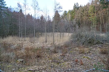
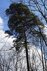
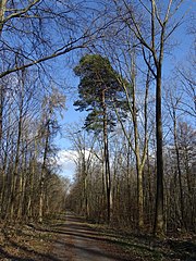
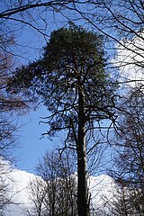
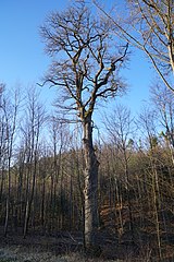
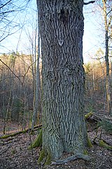
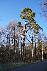
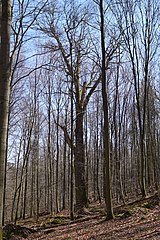
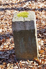
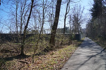
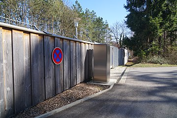
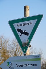
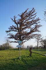
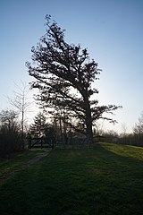
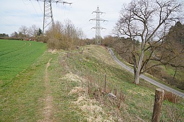
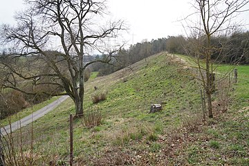
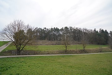
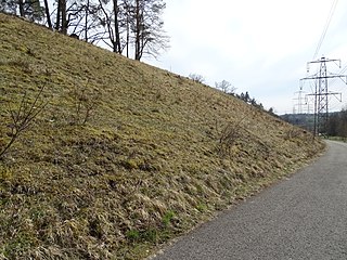
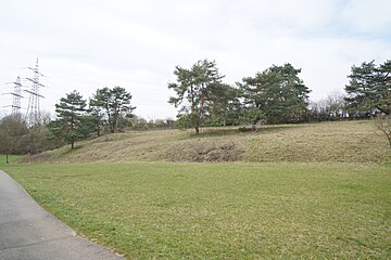
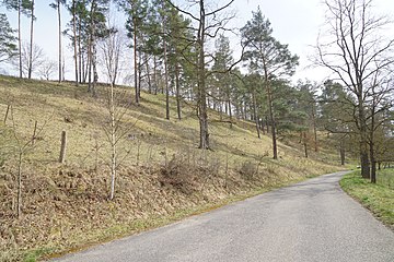
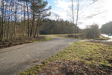
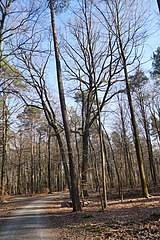
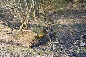
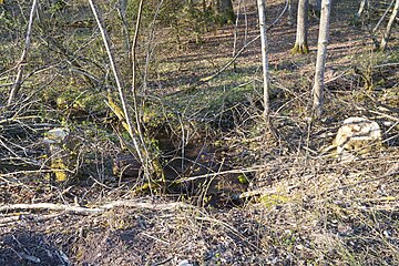
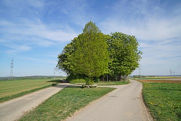
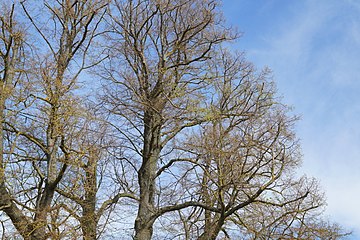
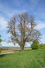
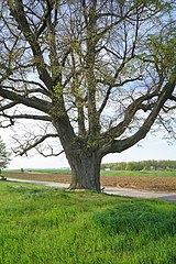
Dieses ist die Seite von Fotoprojekt Naturdenkmäler Sindelfingen. Das Ziel dieses Fotoprojekts ist die Dokumentation der Naturdenkmäler. Unter den Bildern befinden sich auch solche, die kein offizielles Naturdenkmal abbilden. Das Projekt ist fortgeschritten, aber noch nicht vollständig.
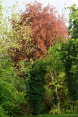
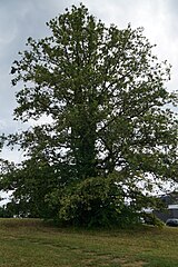
Blutbuche Seestraße[edit]
| Object location | | View all coordinates using: OpenStreetMap |
|---|
| Camera location | | View all coordinates using: OpenStreetMap |
|---|
Pfarrlinde an der Ziegelstraße[edit]
| Object location | | View all coordinates using: OpenStreetMap |
|---|
| Camera location | | View all coordinates using: OpenStreetMap |
|---|
Esche an der Leonberger Straße[edit]
| Object location | | View all coordinates using: OpenStreetMap |
|---|
| Camera location | | View all coordinates using: OpenStreetMap |
|---|
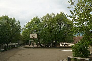
Linde bei der Klostergartenschule[edit]
| Object location | | View all coordinates using: OpenStreetMap |
|---|
| Camera location | | View all coordinates using: OpenStreetMap |
|---|
Weitere Bäume bei der Klostergartenschule.
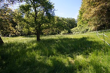
Feuchtbiotop Östl.Freßberg[edit]
| Object location | | View all coordinates using: OpenStreetMap |
|---|
| Camera location | | View all coordinates using: OpenStreetMap |
|---|
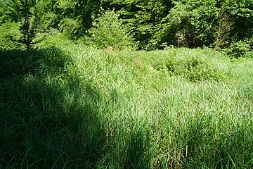
Feuchtbiotop Westl.Freßberg[edit]
| Object location | | View all coordinates using: OpenStreetMap |
|---|
| Camera location | | View all coordinates using: OpenStreetMap |
|---|
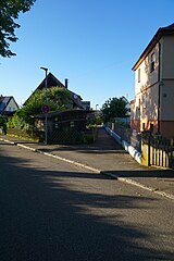
Lindenstraße Sindelfingen[edit]
| Object location | | View all coordinates using: OpenStreetMap |
|---|
| Camera location | | View all coordinates using: OpenStreetMap |
|---|
Beschreibung Thema 1.
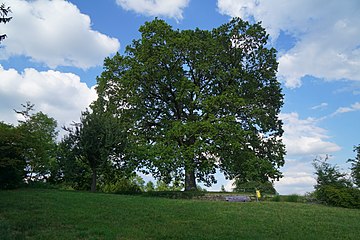
Eiche auf der Burghalde Sindelfingen[edit]
| Object location | | View all coordinates using: OpenStreetMap |
|---|
| Camera location | | View all coordinates using: OpenStreetMap |
|---|
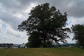
Eiche auf der Schafweide[edit]
| Object location | | View all coordinates using: OpenStreetMap |
|---|
| Camera location | | View all coordinates using: OpenStreetMap |
|---|
Eiche beim Schafweideweg[edit]
| Object location | | View all coordinates using: OpenStreetMap |
|---|
2 Linden bei der Klostergartenschule[edit]
| Object location | | View all coordinates using: OpenStreetMap |
|---|
| Camera location | | View all coordinates using: OpenStreetMap |
|---|
Kennung 81150450002.
2 Eichen im Spitzholz[edit]
Weißtanne an der Trettachstraße[edit]
Mönchsbrunnenried[edit]
Forche an der Steinbruchallee ID 81150450023 Sindelfingen[edit]
Forche an der Steinbruchallee ID 81150450024 Sindelfingen[edit]
Steinbruch und Sandwerk Körner[edit]
Feuchtbiotop Spitzbaierin Sommerhofental[edit]
Naturschutzgebiet Hinteres Sommerhofental[edit]
Eiche im Hochberg ID 81150450017[edit]
Eiche im Hochberg ID 81150450018[edit]
Forchenzwilling im Hochberg[edit]
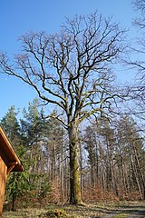
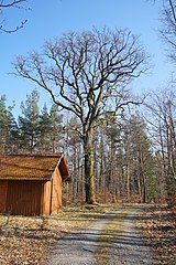
Dicke Eiche im Mietholz[edit]
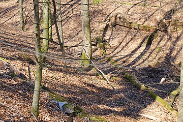
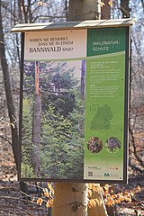
Mietholz (Bannwald)[edit]
Geologischer Aufschluß Burghalden[edit]
3 Eichen am Herrenwäldle[edit]
Halbtrockenrasen Eichelberg (Darmsheim)[edit]
Halbtrockenrasen Nördlicher Hornberg[edit]
Halbtrockenrasen Muld[edit]
Halbtrockenrasen Südlicher Hornberg[edit]
Hangquellwiese Zweibrunnhau[edit]
Kaufwaldeiche[edit]
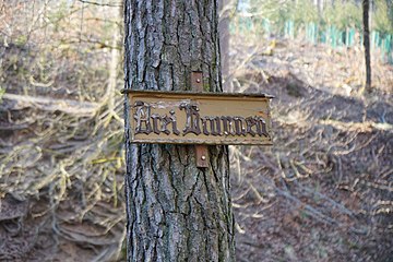
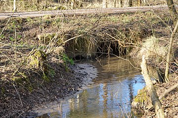
3 Brunnen u. Rotbuche am Hummelrain[edit]
Feuchtbiotop am Diebskarrenbach[edit]
3 Eichen im Eichgern[edit]
Ochsenwaldeiche[edit]
Waldbiotop Bach am Schönaicher Pfad[edit]
Naturschutzgebiet Waldwiese im Mahdental[edit]
Pflanzenstandort Kaufwald[edit]
Halbtrockenrasen und Hohlweg Wacholder[edit]
Halbtrockenrasen (mit 3 Linden) u. Linden-, Pappelallee[edit]
Zinne am Steinbruch Darmsheim[edit]
Vogelschutzgehölz Im Pflästerle[edit]
4 Kastanien beim Wasserbehälter[edit]
Linde, genannt Hoher Baum bei Maichingen[edit]
Steinbruch Dagerheimer Berg[edit]
Der Steinbruch ist zur Hälfte auf dem Gebiet von Böblingen-Dagersheim und zur Hälfte auf dem Gebiet von Sindelfingen-Darmsheim


