Category:Georgia State Route 35
Jump to navigation
Jump to search
 | number: | (thirty-five) |
|---|---|---|
| State highways in Georgia (U.S. state): | 15 · 16 · 17 · 18 · 19 · 20 · 21 · 22 · 23 · 24 · 25 · 26 · 27 · 28 · 29 · 30 · 31 · 32 · 33 · 34 · 35 · 36 · 37 · 38 · 39 · 40 · 41 · 42 · 43 · 44 · 45 · 46 · 47 · 48 · 49 · 50 · 51 · 52 · 53 · 54 · 55 |
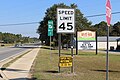
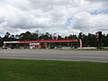
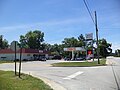
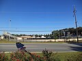
English: State Route 35 (SR 35) is a state highway that runs southwest-to-northeast through portions of Grady, Thomas, Tift, and Irwin counties in south-central Georgia. The route runs from its southwestern terminus at US 319 and SR 61 at the Florida state line south of Cairo to its northeastern terminus at US 319 and SR 32 in Ocilla. The route runs concurrent with US 319 for its entire length.
highway in Georgia | |||||
| Upload media | |||||
| Instance of | |||||
|---|---|---|---|---|---|
| Location | Georgia | ||||
| Transport network | |||||
| Owned by | |||||
| Maintained by | |||||
| |||||
Subcategories
This category has the following 2 subcategories, out of 2 total.
Media in category "Georgia State Route 35"
The following 25 files are in this category, out of 25 total.
-
 Georgia 35 Business.svg 600 × 600; 10 KB
-
 Blue Star Memorial Marker, GA 35 133, Moultrie.JPG 4,320 × 3,240; 4.43 MB
-
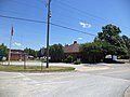
 Brightside Christian Worship Center, Coolidge.JPG 4,320 × 3,240; 4.48 MB
-
 Chevron GA 35 133, Moultrie.JPG 4,320 × 3,240; 4.54 MB
-
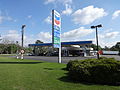 Chevron gas, 1350 N Veterans Pkwy, Moultrie.JPG 4,608 × 3,456; 4.97 MB
-
 Chick-fil-a, US319, Moultrie.jpg 5,184 × 3,456; 6.78 MB
-
 Colony Bank, GA 35 133, Moultrie.JPG 4,320 × 3,240; 4.46 MB
-
 Commercial Banking Company, GA 35 133, Moultrie.JPG 4,320 × 3,240; 4.48 MB
-
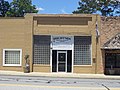
 Coolidge City Hall Municipal Building.JPG 4,320 × 3,240; 4.38 MB
-
 Coolidge Library.JPG 4,320 × 3,240; 4.53 MB
-
 Dollar General, GA 37 133, Moultrie.JPG 4,320 × 3,240; 4.39 MB
-
 GA SR 188 319 Int.JPG 4,320 × 3,240; 4.5 MB
-
 GA35 end Grady County.jpg 5,184 × 3,456; 11.13 MB
-
 GA35 MM21, Norman Park.jpg 5,184 × 3,456; 8.6 MB
-
 Georgia 35 Loop.svg 600 × 600; 9 KB
-
 Georgia 35.svg 600 × 600; 6 KB
-
 Georgia state route 35 map.png 771 × 579; 111 KB
-
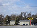
 Hardee's GA 37 133, Moultrie.JPG 4,320 × 3,240; 4.44 MB
-
 Huddle House, US319, Moultrie.jpg 5,184 × 3,456; 7.33 MB
-
 KFC GA 37 133, Moultrie.JPG 4,320 × 3,240; 4.41 MB
-
 Murphy Express, US319, Thomas County.JPG 4,608 × 3,456; 4.59 MB
-
 Quik Mart, Coolidge.JPG 4,320 × 3,240; 4.53 MB
-
 Raceway Gas Station, 1301 N Veterans Pkwy, Moultrie.jpg 4,608 × 3,456; 5.88 MB
-
 Thomas County High School Stadium.JPG 4,320 × 3,240; 4.62 MB
-
 Walgreens, GA 37 133, Moultrie.JPG 4,320 × 3,240; 4.51 MB


