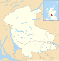
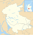
Category:Maps of Stirling council area
Appearance
Council areas (municipalities) of Scotland: Aberdeen · Aberdeenshire · Angus · Argyll and Bute · Clackmannanshire · Dumfries and Galloway · Dundee · East Ayrshire · East Dunbartonshire · East Lothian · East Renfrewshire · Edinburgh · Falkirk · Fife · Glasgow · Highland · Inverclyde · Midlothian · Moray · North Ayrshire · North Lanarkshire · Outer Hebrides · Orkney Islands · Perth and Kinross · Renfrewshire · Scottish Borders · Shetland Islands · South Ayrshire · South Lanarkshire · Stirling · West Dunbartonshire · West Lothian
Media in category "Maps of Stirling council area"
The following 12 files are in this category, out of 12 total.
-
Dunblane diocese map.jpg 653 × 481; 143 KB
-
Dunblane1945.png 1,152 × 862; 2.22 MB
-
Stirling (location).png 236 × 226; 47 KB
-
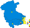
Stirling Council election 2017.svg 606 × 548; 43 KB
-
Stirling towns.gif 370 × 360; 33 KB
-
Stirling UK blank map.svg 1,347 × 1,384; 1,012 KB
-
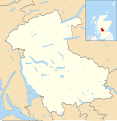
Stirling UK location map.svg 1,347 × 1,384; 1.38 MB
-
Stirling UK parish map (blank).svg 1,347 × 1,384; 1.17 MB
-
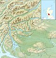
Stirling UK relief location map.jpg 2,002 × 2,059; 675 KB
-
Stirling UK ward map (blank).svg 1,347 × 1,384; 1.11 MB
-
Stirling UK ward map 2017 (blank).svg 1,347 × 1,384; 1.1 MB


