Category:Maps of Paris in the 1880s
Jump to navigation
Jump to search
Subcategories
This category has the following 2 subcategories, out of 2 total.
Media in category "Maps of Paris in the 1880s"
The following 9 files are in this category, out of 9 total.
-
 Population density of Paris, 1881 - Demographia.svg 512 × 293; 181 KB
-
 Population density of Paris, 1886 - Demographia.svg 512 × 293; 184 KB
-

-
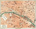
 Meyers b12 s0719a.jpg 2,048 × 1,622; 915 KB
-
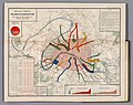
 Meyers b12 s0719b.jpg 2,048 × 1,641; 836 KB
-

-

-
-
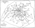 T5- d520 - Fig. 425. — Réseau pneumatique de Paris.png 3,431 × 2,729; 134 KB


.jpg)


