Category:Maps of Clay County, Indiana (style A)
Jump to navigation
Jump to search
Media in category "Maps of Clay County, Indiana (style A)"
The following 11 files are in this category, out of 11 total.
-
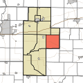
 Map highlighting Brazil Township, Clay County, Indiana.svg 512 × 512; 46 KB
-
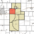
 Map highlighting Cass Township, Clay County, Indiana.svg 512 × 512; 46 KB
-
 Map highlighting Dick Johnson Township, Clay County, Indiana.svg 512 × 512; 46 KB
-
 Map highlighting Harrison Township, Clay County, Indiana.svg 512 × 512; 46 KB
-
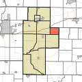
 Map highlighting Jackson Township, Clay County, Indiana.svg 512 × 512; 46 KB
-
 Map highlighting Lewis Township, Clay County, Indiana.svg 512 × 512; 46 KB
-
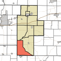
 Map highlighting Perry Township, Clay County, Indiana.svg 512 × 512; 46 KB
-
 Map highlighting Posey Township, Clay County, Indiana.svg 512 × 512; 46 KB
-
 Map highlighting Sugar Ridge Township, Clay County, Indiana.svg 512 × 512; 46 KB
-
 Map highlighting Van Buren Township, Clay County, Indiana.svg 512 × 512; 46 KB
-
 Map highlighting Washington Township, Clay County, Indiana.svg 512 × 512; 46 KB


