Category:Maps of the London boroughs
Jump to navigation
Jump to search
Subcategories
This category has the following 35 subcategories, out of 35 total.
Media in category "Maps of the London boroughs"
The following 27 files are in this category, out of 27 total.
-
 Boroughs of London.svg 900 × 695; 107 KB
-
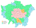 Greater London composite parts.PNG 1,773 × 1,410; 170 KB
-
 Greater London UK assembly election 2000 map.svg 1,425 × 1,140; 954 KB
-
 Greater London UK assembly election 2004 map.svg 1,425 × 1,140; 954 KB
-
 Greater London UK assembly election 2008 map.svg 1,425 × 1,140; 954 KB
-
 Greater London UK assembly election 2012 map.svg 1,425 × 1,140; 954 KB
-
 Greater London UK assembly election 2016 map.svg 1,425 × 1,140; 954 KB
-
 Greater London UK district local election 2010 map.svg 1,425 × 1,140; 1.06 MB
-
 Greater London, administrative divisions - de - colored.svg 1,425 × 1,140; 1.24 MB
-
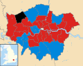
 London local elections 1964.svg 1,425 × 1,140; 1.05 MB
-
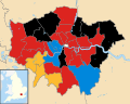
 London local elections 1968.svg 1,425 × 1,140; 1.05 MB
-
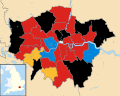
 London local elections 1971.svg 1,425 × 1,140; 1.05 MB
-
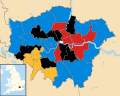
 London local elections 1974.svg 1,425 × 1,140; 1.05 MB
-
 London local elections 1978.svg 1,425 × 1,140; 1.05 MB
-
 London local elections 1982.svg 1,425 × 1,140; 1.05 MB
-
 London local elections 1986.svg 1,425 × 1,140; 1.05 MB
-
 London local elections 1990.svg 1,425 × 1,140; 1.05 MB
-
 London local elections 1994.svg 1,425 × 1,140; 1.05 MB
-
 London local elections 1998.svg 1,425 × 1,140; 1.06 MB
-
 London local elections 2002.svg 1,425 × 1,140; 1.06 MB
-
 London local elections 2006.svg 1,425 × 1,140; 1.06 MB
-
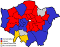 London local elections 2010.png 962 × 744; 120 KB
-
 London local elections 2010.svg 962 × 744; 28 KB
-
 London local elections 2014.svg 1,425 × 1,140; 1.06 MB
-
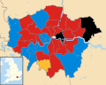
 London local elections 2018.svg 1,425 × 1,140; 1.06 MB
-
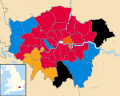 London local elections 2022.svg 1,425 × 1,140; 1.06 MB
-
 Map showing Mini-Holland boroughs.jpg 2,402 × 1,769; 203 KB


