Category:Maps of the London Borough of Harrow
Jump to navigation
Jump to search
Media in category "Maps of the London Borough of Harrow"
The following 10 files are in this category, out of 10 total.
-
 HA postcode area versus traditional terms.svg 596 × 536; 89 KB
-
 Harrow 1961.png 1,436 × 1,503; 78 KB
-
 Harrow London UK blank ward map 2022.svg 512 × 558; 1.26 MB
-
 Harrow London UK blank ward map.svg 1,187 × 1,266; 436 KB
-
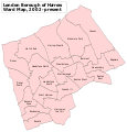 Harrow London UK labelled ward map 2002.svg 1,116 × 1,169; 116 KB
-
 Harrow London UK location map.svg 1,187 × 1,266; 3.72 MB
-
 Harrow1961.svg 543 × 550; 25 KB
-
 Hendon rural 1911.png 1,027 × 877; 31 KB
-
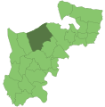
 LondonHarrow.svg 962 × 744; 19 KB
-
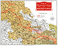 Metro-land-map.jpg 1,507 × 1,200; 2.25 MB


