Category:Maps of the London Borough of Brent
Jump to navigation
Jump to search
Media in category "Maps of the London Borough of Brent"
The following 13 files are in this category, out of 13 total.
-
 Brent London UK blank ward map 2022.svg 512 × 414; 689 KB
-
 Brent London UK blank ward map.svg 1,425 × 1,140; 375 KB
-
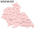 Brent London UK labelled ward map 2002.svg 1,354 × 1,140; 88 KB
-
 Brent London UK location map.svg 1,425 × 1,140; 3.61 MB
-
 Brent UK locator map.svg 1,425 × 1,140; 1.06 MB
-
 LondonBrent.png 200 × 155; 23 KB
-
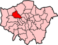
 LondonBrent.svg 962 × 744; 22 KB
-
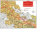 Metro-land-map.jpg 1,507 × 1,200; 2.25 MB
-
 Wembley1961.svg 543 × 550; 25 KB
-
 Wembly Park map 1938.jpg 1,053 × 806; 725 KB
-
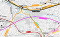
 Willesden Junction map with Old Oak Common.png 1,467 × 903; 1.15 MB
-
 Willesden junction map.png 1,467 × 903; 1.29 MB
-
 Willesden1961.svg 543 × 550; 26 KB


