File:Henri Dron & Heymann, Plan de la Commune de Paris - Paris Musées.jpg
Jump to navigation
Jump to search

Size of this preview: 775 × 600 pixels. Other resolutions: 310 × 240 pixels | 620 × 480 pixels | 992 × 768 pixels | 1,280 × 991 pixels | 2,560 × 1,981 pixels | 7,790 × 6,029 pixels.
Original file (7,790 × 6,029 pixels, file size: 29.14 MB, MIME type: image/jpeg)
Captions
Captions
Add a one-line explanation of what this file represents
Summary
[edit]| Title |
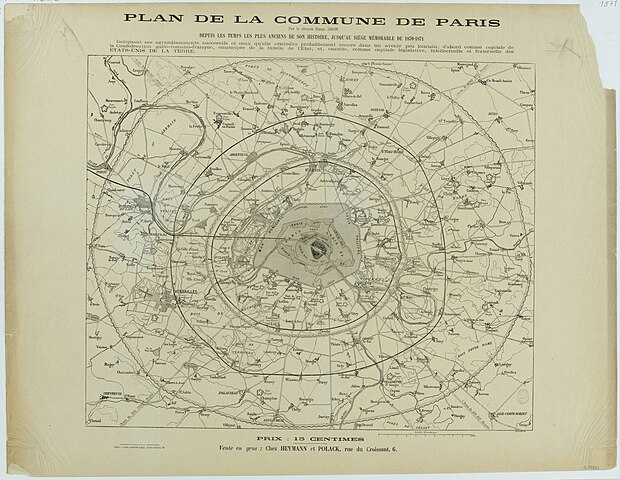
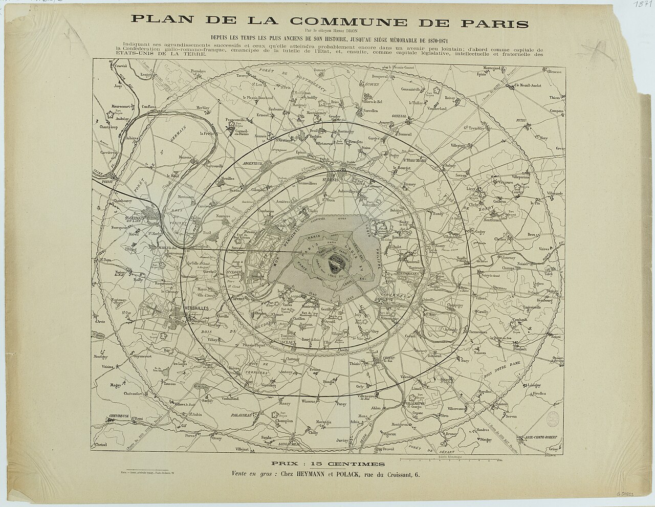
Plan de la Commune de Paris / depuis les temps et les plus anciens de son histoire, jusqu'au siège mémorable de 1870-1871. |
||||||||||||||||||||||||||
| Description |
English: An old map of Paris. |
||||||||||||||||||||||||||
| Source |
|
||||||||||||||||||||||||||
| Creator |
|
||||||||||||||||||||||||||
| Geotemporal data | |||||||||||||||||||||||||||
| Map location | Paris | ||||||||||||||||||||||||||
| Georeferencing | If inappropriate please set warp_status = skip to hide. | ||||||||||||||||||||||||||
| Bibliographic data | |||||||||||||||||||||||||||
| Part of the series | Plans, vues panoramiques | ||||||||||||||||||||||||||
| Language | french | ||||||||||||||||||||||||||
| Place of publication | Paris | ||||||||||||||||||||||||||
| Archival data | |||||||||||||||||||||||||||
| Collection |
|
||||||||||||||||||||||||||
| Dimensions | 50 x 65 cm | ||||||||||||||||||||||||||

Licensing
[edit]
|
This work is in the public domain in its country of origin and other countries and areas where the copyright term is the author's life plus 100 years or fewer. | |
| This file has been identified as being free of known restrictions under copyright law, including all related and neighboring rights. | |
File history
Click on a date/time to view the file as it appeared at that time.
| Date/Time | Thumbnail | Dimensions | User | Comment | |
|---|---|---|---|---|---|
| current | 05:40, 16 September 2021 | | 7,790 × 6,029 (29.14 MB) | Paris 16 (talk | contribs) | Uploaded own work with UploadWizard |
You cannot overwrite this file.
File usage on Commons
The following 2 pages use this file:
- User:Czar/Anarchism/2021 September
- File:489249 - Paris Musées.jpg (file redirect)