File:1912 China map from National Geographic.jpg
Jump to navigation
Jump to search

Size of this preview: 786 × 600 pixels. Other resolutions: 315 × 240 pixels | 629 × 480 pixels | 1,007 × 768 pixels | 1,280 × 977 pixels | 2,560 × 1,953 pixels | 6,980 × 5,326 pixels.
Original file (6,980 × 5,326 pixels, file size: 10.65 MB, MIME type: image/jpeg)
Captions
Captions
Add a one-line explanation of what this file represents
Summary
[edit]| Description |
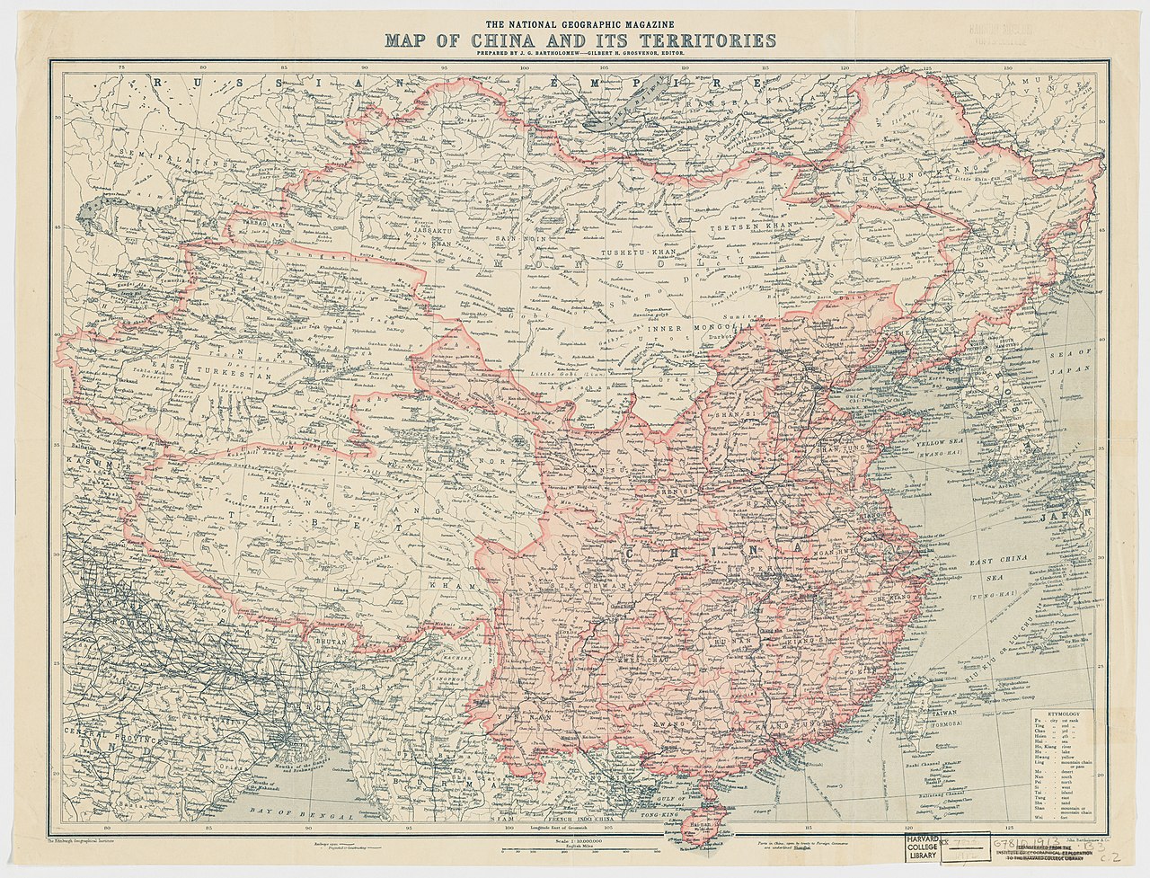
English: The National Geographic Magazine map of China and its territories
中文(中国大陆):中国地图,出自1912年10月美国《國家地理雜誌》 |
||||||||||||||||||||
| Date | |||||||||||||||||||||
| Source |
Harvard University Library 1912年10月國家地理雜誌 |
||||||||||||||||||||
| Creator |
Edinburgh Geographical Institute |
||||||||||||||||||||
| Permission (Reusing this file) |
|
||||||||||||||||||||
| Georeferencing | If inappropriate please set warp_status = skip to hide. | ||||||||||||||||||||
| Other versions | Digital Commonwealth | ||||||||||||||||||||

.jpg)
| Annotations | This image is annotated: View the annotations at Commons |
File history
Click on a date/time to view the file as it appeared at that time.
| Date/Time | Thumbnail | Dimensions | User | Comment | |
|---|---|---|---|---|---|
| current | 23:50, 17 February 2015 | | 6,980 × 5,326 (10.65 MB) | Scewing (talk | contribs) | Higher resolution |
| 03:01, 20 May 2014 |  | 1,600 × 1,212 (746 KB) | Jindaihua (talk | contribs) | User created page with UploadWizard |
You cannot overwrite this file.
File usage on Commons
The following 3 pages use this file:
File usage on other wikis
The following other wikis use this file:
- Usage on bn.wikipedia.org
- Usage on ca.wikipedia.org
- Usage on en.wikipedia.org
- Usage on en.wiktionary.org
- Usage on es.wikipedia.org
- Usage on fr.wikipedia.org
- Usage on lv.wikipedia.org
- Usage on mn.wikipedia.org
- Usage on nl.wikipedia.org
- Usage on pt.wikipedia.org
- Usage on ru.wikipedia.org
- Usage on sr.wikipedia.org
- Usage on zh.wikipedia.org
Metadata
Categories:
- National Geographic Maps
- National Geographic Magazine, 1912
- 1912 maps of China
- 1912 in Tibet
- Beiyang Government
- China proper
- Maps of Amdo
- Maps of Kham
- Ü-Tsang
- Changtang
- Old maps of the Qing Dynasty
- 20th-century maps of Tibet
- Old maps of Kashmir
- Old maps of Bhutan
- 20th-century maps of Nepal
- Old maps of Myanmar
- Old maps of Bengal
- Old maps of Mongolia
- 20th-century maps of India
- 1910s maps of Korea
- Maps of the Russian Empire
- Old maps of Gansu
- Maps of East Turkestan
- Old maps of Sikkim
- Maps of the Himalayas
- Maps of the Mekong
- Maps of the Salween River
- Maps of the Yellow River
- Maps of the Yangtze River
- Maps of the Kunlun Mountains
- Yamdrok Lake
- Lake Baikal
- Lake Balkhash
- Qinghai Lake
- Edinburgh Geographical Institute
- John George Bartholomew
- John Bartholomew and Son
- Rima, Tibet
- Chinese postal maps