Category:Transport maps of Hesse
Jump to navigation
Jump to search
Federal states of Germany:
Subcategories
This category has the following 2 subcategories, out of 2 total.
Media in category "Transport maps of Hesse"
The following 21 files are in this category, out of 21 total.
-
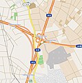
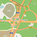
 Autobahndreieck Fulda.jpg 721 × 666; 107 KB
-
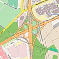
 Bad Homburger Kreuz.jpg 479 × 480; 128 KB
-
 Eschborner Dreieck.jpg 467 × 468; 165 KB
-
 Gambacher Kreuz.jpg 444 × 446; 109 KB
-
 Gießener Südkreuz.jpg 476 × 477; 127 KB
-
 Hanauer Kreuz.png 889 × 846; 196 KB
-
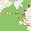 Hattenbacher Dreieck.jpg 453 × 454; 68 KB
-
 Kirchheimer Dreieck.jpg 391 × 391; 79 KB
-
 Krifteler Dreieck.jpg 392 × 393; 94 KB
-
 Langenselbolder Dreieck.png 695 × 697; 130 KB
-
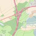
 Mainspitz Dreieck.jpg 432 × 433; 101 KB
-
 Mainspitzdreieck Karte.svg 1,840 × 1,546; 1.14 MB
-
 Map AS Krifteler Dreieck.svg 392 × 393; 533 KB
-
 Moenchhof Dreieck.jpg 492 × 493; 107 KB
-
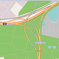
 Offenbacher Kreuz.jpg 493 × 494; 140 KB
-
 Reiskirchener Dreieck.jpg 395 × 396; 77 KB
-
 Ruesselsheimer Dreieck.jpg 490 × 491; 119 KB
-
 Schiersteiner Kreuz.jpg 350 × 351; 76 KB
-
 Seligenstaedter Dreieck.jpg 471 × 472; 72 KB
-
 Viernheimer Kreuz.jpg 355 × 356; 102 KB
-
 Wetzlar Ost.jpg 474 × 475; 106 KB


