Category:Public transport maps of Malaysia
Jump to navigation
Jump to search
Bahasa Melayu: Peta pengangkutan awam Malaysia
Subcategories
This category has the following 2 subcategories, out of 2 total.
Media in category "Public transport maps of Malaysia"
The following 6 files are in this category, out of 6 total.
-
Causeway Link cross border services diagram.svg 1,260 × 945; 190 KB
-
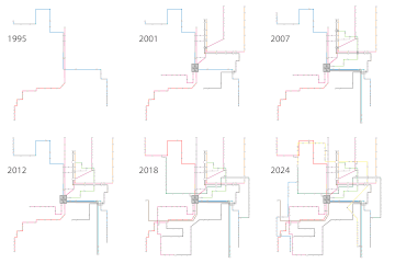
Klang Valley Rail Transit System Timeline - 2024.gif 1,398 × 1,393; 101 KB
-
Klang Valley Rail Transit System Timeline - 2025.gif 1,398 × 1,393; 103 KB
-
Malayan Railways - KTM Intercity System Map.svg 1,382 × 2,295; 1.23 MB
-
Malaysia railway map.svg 1,582 × 1,562; 1.02 MB
-
Rapidpenangroutemap1.jpg 1,382 × 1,960; 222 KB


