Category:OpenStreetMap maps of West Bengal
Jump to navigation
Jump to search
States of India: Andhra Pradesh · Gujarat · Karnataka · Kerala · Maharashtra · Punjab · Rajasthan · Tamil Nadu · Telangana · West Bengal
Union territories: Delhi ·
Former states of India:
Former union territories:
Union territories: Delhi ·
Former states of India:
Former union territories:
Subcategories
This category has only the following subcategory.
K
Media in category "OpenStreetMap maps of West Bengal"
The following 10 files are in this category, out of 10 total.
-
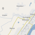 Bishpara.png 256 × 256; 17 KB
-
 Bolpur map.png 1,949 × 1,950; 1.05 MB
-
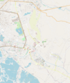
 Dankuni Urban Agglomeration.png 421 × 483; 157 KB
-
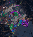
 Kolkata Metro Line 4.png 905 × 930; 1.19 MB
-
 Kolkata West International City.svg 974 × 423; 1.01 MB
-
 Map of Kolkata Airport.png 553 × 691; 456 KB
-
 Map of Salt Lake, Kolkata.png 2,000 × 2,252; 3.76 MB
-
 New Town, Kolkata.png 1,799 × 2,130; 2.19 MB
-
 Salt Lake, Kolkata.png 1,943 × 1,943; 3.33 MB
-
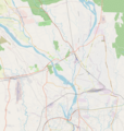 Siliguri map.png 1,899 × 2,000; 2.49 MB


