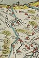
Category:Old maps of Gipuzkoa
Jump to navigation
Jump to search
Subcategories
This category has the following 2 subcategories, out of 2 total.
D
Media in category "Old maps of Gipuzkoa"
The following 16 files are in this category, out of 16 total.
-

-
 1915 Saint Sebastien au mont Ulia.jpg 1,600 × 1,038; 571 KB
-

-

-
 Gipuzkoako itsasertza.png 1,490 × 1,040; 2.68 MB
-
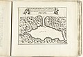
 Guipuscoæ regionis typus, Ortelius (1603).png 974 × 796; 1.53 MB
-
-
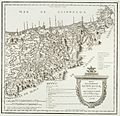 Mapa de la provincia de Guipuzcoa (1744-1746, Tomás López).jpg 3,165 × 3,049; 5.79 MB
-
 Mapa de las provincias de Guipuzcoa y Vizcaya - btv1b53065331m.jpg 9,568 × 7,248; 11.75 MB
-
 Mapa de las provindias de Guipuzcoa y Vizcaya - btv1b530651793.jpg 9,304 × 6,848; 11.67 MB
-
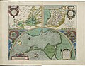 Maps of Carpetania, of Gipuzkoa, and of Cadiz by Abraham Ortelius.jpeg 3,047 × 2,360; 2.22 MB
-
-
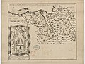
 Plano-puerto-Pasajes.jpg 1,200 × 1,600; 545 KB
-
 Province de Guipuzcoa (Espagne) - btv1b84602398.jpg 7,892 × 7,944; 7.94 MB
-
 Urola Kosta by Abraham Ortelius (cropped).jpeg 241 × 357; 43 KB
-
 UVT.09.12.JPG 567 × 433; 56 KB
.jpg)

_litog(...)_de_Lamaignere_;_litografiada_J.B._Teulieres_-_btv1b530353826.jpg)


.png)
_Les_Forces_de_l%27Europe,_Asie,_Afrique_et_Amerique,_ou_description_des_principales_,_RP-P-OB-83.034-275.jpg)
.jpg)


_-_btv1b84602398.jpg)
.jpeg)
