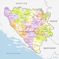
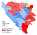
Category:Maps of subdivisions of Bosnia and Herzegovina
Appearance
Subcategories
This category has the following 7 subcategories, out of 7 total.
*
+
C
M
R
Media in category "Maps of subdivisions of Bosnia and Herzegovina"
The following 16 files are in this category, out of 16 total.
-
BH cantons & regions.png 3,215 × 3,057; 728 KB
-
BH municipality location.gif 1,600 × 1,520; 147 KB
-
BH municipality location.png 631 × 599; 54 KB
-
Bih cantons en.png 1,109 × 1,047; 96 KB
-
Bih cantons sh.png 1,109 × 1,047; 98 KB
-
Bih cantons sr.png 1,109 × 1,047; 97 KB
-
Bosnia and Herzegovina division 2005.png 2,416 × 3,036; 381 KB
-
Bosnia and Herzegovina Political without text.png 1,600 × 1,520; 131 KB
-
Bosnia and Herzegovina Political.png 1,600 × 1,520; 201 KB
-
Bosnia and Herzegovina subdivision map.png 1,600 × 1,520; 128 KB
-
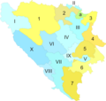
Bosniadivisions1.PNG 163 × 157; 4 KB
-
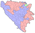
Bosniadivisions2.PNG 163 × 157; 4 KB
-
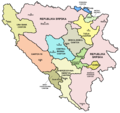
Bosniadivisions3.png 163 × 157; 6 KB
-
Final version.png 1,780 × 1,686; 213 KB
-
Gemeinden Bosnien und Herzegowina 2020.png 3,000 × 2,989; 1.72 MB
-
Municipalities and regions of Bosnia and Herzegovina.svg 1,600 × 1,520; 397 KB

