Category:Maps of beltways in the United Kingdom
Jump to navigation
Jump to search
Countries of Europe: Belgium · Czech Republic · France‡ · Germany · Italy · Netherlands‡ · Poland · Russia‡ · United Kingdom
‡: partly located in Europe
‡: partly located in Europe
Media in category "Maps of beltways in the United Kingdom"
The following 16 files are in this category, out of 16 total.
-
 070921-Final DLS map.pdf 2,479 × 1,752; 722 KB
-
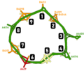 Coventry Ring Road Junction Map.png 611 × 519; 27 KB
-
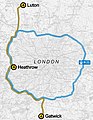 Heathwick.jpg 707 × 913; 100 KB
-
 Leeds Loop Road diagram.svg 1,021 × 671; 49 KB
-
 Leedsloop.jpg 1,203 × 676; 90 KB
-
 Leedslooproad.png 1,043 × 630; 136 KB
-
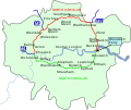 London north-south circulars.svg 4,542 × 3,809; 46 KB
-
 M25 London.jpg 3,902 × 3,335; 1.64 MB
-
 M25 motorway (Great Britain) map.svg 1,038 × 1,279; 457 KB
-
 M25 works.png 762 × 638; 574 KB
-
 M60 motorway (Great Britain) map.svg 1,038 × 1,279; 457 KB
-
 Manchester Congestion Charge.png 2,000 × 1,394; 1.13 MB
-

-
 Proposed inner ring road for London shown in 1945.png 624 × 473; 259 KB
-
 Sheffield inner ring-road.png 900 × 800; 23 KB
-
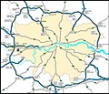
 UK motorway map - M25.png 790 × 998; 112 KB


_map.svg)

_map.svg)


