Category:Maps of beltways in Germany
Jump to navigation
Jump to search
Media in category "Maps of beltways in Germany"
The following 12 files are in this category, out of 12 total.
-
Bundesautobahn 99 map.png 1,122 × 1,515; 75 KB
-
Autobahnring Bochum.jpg 800 × 495; 64 KB
-
BraunschweigerRing.png 1,148 × 855; 1.74 MB
-
Bundesautobahn 99 map 2006.png 1,122 × 1,515; 142 KB
-
Innenstadtring-berlin.png 633 × 497; 593 KB
-
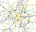
Karte Fernstraßen München.png 2,473 × 2,211; 643 KB
-
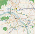
Karte Mainzer Ring.svg 1,033 × 996; 2.94 MB
-
Karte Mittlerer Ring München.png 1,499 × 1,392; 530 KB
-
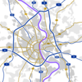
Koelner Ring.png 1,200 × 1,200; 150 KB
-
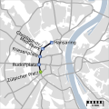
KVB Ringe.svg 1,000 × 1,000; 78 KB
-
Map D A99.svg 1,073 × 1,272; 465 KB
-
Münchner Mittlerer Ring.png 470 × 375; 18 KB


