Category:Maps of Landkreis Osterholz
Jump to navigation
Jump to search

Subcategories
This category has only the following subcategory.
Media in category "Maps of Landkreis Osterholz"
The following 14 files are in this category, out of 14 total.
-
 Beek.png 1,173 × 1,149; 215 KB
-
 Karte worpswede in deutschland.png 188 × 235; 5 KB
-
 Lange diercke sachsen deutsche landschaften moorlandschaft.jpg 1,255 × 1,016; 747 KB
-
 Locator map OHZ in Germany.svg 1,075 × 1,273; 535 KB
-
 Locator map OHZ in Lower Saxony.svg 1,424 × 1,203; 322 KB
-
 Lower saxony ohz.png 280 × 245; 13 KB
-
 OHZ in Niedersachsen.svg 1,121 × 978; 147 KB
-
 Osterholz in Hannover 1905.png 794 × 680; 31 KB
-
 PlanOstersode59.jpg 2,980 × 2,048; 4.15 MB
-
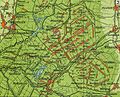
 Topo bremer schweiz.png 782 × 655; 281 KB
-
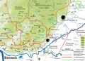
 Topomap bremer schweiz.svg 450 × 425; 3.62 MB
-
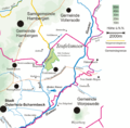
 Topomap Osterholzer Geest.svg 500 × 515; 1.34 MB
-
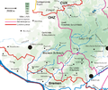
 Topomap ritterhude OHZ.svg 760 × 550; 2.38 MB
-
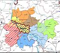 WK Verbreitungsgebiet.jpeg 711 × 633; 103 KB


