Category:Locator maps of municipalities in the Landkreis Roth
Jump to navigation
Jump to search
Urban districts (cities):
Media in category "Locator maps of municipalities in the Landkreis Roth"
The following 42 files are in this category, out of 42 total.
-
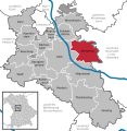
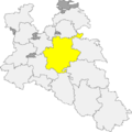
 Abenberg im LK Roth.png 390 × 391; 18 KB
-
 Abenberg in RH.svg 592 × 607; 1.05 MB
-
 Abenberger Wald in RH.svg 592 × 607; 1.05 MB
-
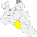
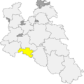
 Allersberg im LK Roth.png 390 × 391; 18 KB
-
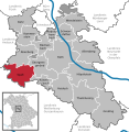
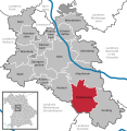
 Allersberg in RH.svg 592 × 607; 1.05 MB
-
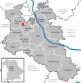
 Büchenbach im LK Roth.png 390 × 391; 18 KB
-
 Büchenbach in RH.svg 592 × 607; 1.05 MB
-
 Dechenwald in RH.svg 592 × 607; 1.05 MB
-
 Forst Kleinschwarzenlohe in RH.svg 592 × 607; 1.05 MB
-
 Gemeindefreies Gebiet Soos in RH.svg 592 × 607; 1.05 MB
-
 Georgensgmünd im LK Roth.png 390 × 391; 18 KB
-
 Georgensgmünd in RH.svg 592 × 607; 1.05 MB
-
 Greding im LK Roth.png 390 × 391; 18 KB
-
 Greding in RH.svg 592 × 607; 1.05 MB
-
 Heideck im LK Roth.png 390 × 391; 18 KB
-
 Heideck in RH.svg 592 × 607; 1.05 MB
-
 Heidenberg in RH.svg 592 × 607; 1.05 MB
-
 Hilpoltstein im LK Roth.png 390 × 391; 18 KB
-
 Hilpoltstein in RH.svg 592 × 607; 1.05 MB
-
 Kammerstein im Lk Roth.png 390 × 391; 18 KB
-
 Kammerstein in RH.svg 592 × 607; 1.05 MB
-
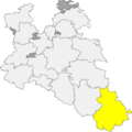
 Locator map RH in Bavaria.svg 867 × 855; 1,010 KB
-
 Locator map RH in Germany.svg 1,075 × 1,273; 581 KB
-
 Map of Landkreis Roth.png 388 × 389; 15 KB
-
 Municipalities in RH.svg 592 × 607; 1.05 MB
-
 Rednitzhembach im Lk Roth.png 390 × 391; 18 KB
-
 Rednitzhembach in RH.svg 592 × 607; 1.05 MB
-
 RH in Bayern.svg 1,227 × 1,236; 311 KB
-
 Rohr im Lk Roth.png 390 × 391; 18 KB
-
 Rohr in RH.svg 592 × 607; 1.05 MB
-
 Roth im Lk Roth.png 390 × 391; 18 KB
-
 Roth in RH.svg 592 × 607; 1.05 MB
-
 Röttenbach im Lk Roth.png 390 × 391; 18 KB
-
 Röttenbach in RH.svg 592 × 607; 1.05 MB
-
 Schwanstetten im Lk Roth.png 390 × 391; 18 KB
-
 Schwanstetten in RH.svg 592 × 607; 1.05 MB
-
 Spalt im Lk Roth.png 390 × 391; 18 KB
-
 Spalt in RH.svg 592 × 607; 1.05 MB
-
 Thalmässing im Lk Roth.png 390 × 391; 18 KB
-
 Thalmässing in RH.svg 592 × 607; 1.05 MB
-
 Wandelstein im Lk Roth.png 390 × 391; 18 KB
-
 Wendelstein in RH.svg 592 × 607; 1.05 MB


