Category:Linguistic maps of the United Kingdom
Jump to navigation
Jump to search
Subcategories
This category has the following 5 subcategories, out of 5 total.
E
I
S
W
Media in category "Linguistic maps of the United Kingdom"
The following 18 files are in this category, out of 18 total.
-

-
 Altenglische Dialekte.svg 594 × 835; 580 KB
-
 Dialects of English in UK and Ireland.svg 744 × 1,052; 324 KB
-
 Dialects of the british isles.jpg 517 × 600; 202 KB
-
 Different dialects in the British Isles.svg 783 × 844; 490 KB
-
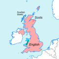
 Distribution map of languages in the United Kingdom.svg 638 × 638; 958 KB
-
 Foreign languages in northern ireland.png 18,870 × 14,693; 11 MB
-
 Languages of Great Britain and Ireland.png 4,765 × 6,618; 3.35 MB
-
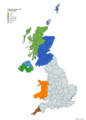
 Map of languages of the United Kingdom.svg 422 × 422; 1.39 MB
-
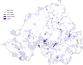
 Map of those with some ability in Irish in the 2011 census in Northern Ireland.png 18,870 × 14,693; 11.65 MB
-

-
 Middle English Dialects.png 720 × 960; 103 KB
-
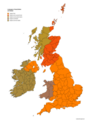
 Minority languages of the United Kingdom.png 4,765 × 6,618; 2.05 MB
-
 North Angli.png 260 × 330; 7 KB
-
 Polish speakers in England and Wales.svg 1,067 × 1,188; 878 KB
-
 PSM V52 D169 Origin of place names of the british isles.png 1,960 × 3,073; 395 KB
-
 Scotsdialects.png 635 × 684; 59 KB
-
 Ulster-Scots speakers in the 2011 census in Northern Ireland.png 20,838 × 16,226; 13.07 MB
.jpg)


