Category:1840s maps of the Ottoman Empire
Jump to navigation
Jump to search
Subcategories
This category has the following 19 subcategories, out of 19 total.
'
- 1840s maps of Albania (3 F)
- 1840s maps of Bulgaria (2 F)
- 1840s maps of Lebanon (5 F)
.
- 1840s maps of Cyprus (1 F)
- 1840s maps of Iraq (1 F)
- 1840s maps of Serbia (5 F)
Media in category "1840s maps of the Ottoman Empire"
The following 11 files are in this category, out of 11 total.
-
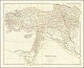
 1840 map of Turkey in Asia by John Arrowsmith.jpg 15,175 × 12,467; 28.91 MB
-
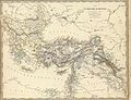
 1840 map of Turkey in Asia.jpg 15,460 × 12,655; 38.66 MB
-
 Balkan-Halbinsel, Ungarn, Europaeische Türkey und Griechenland.tif 3,360 × 4,125; 39.69 MB
-

-
-
-
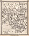 Barclay's Dictionary Turkey in Europe & Greece.jpg 4,775 × 6,063; 21.15 MB
-

-
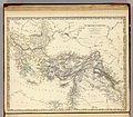
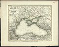 1845 map - Neueste Karte der Küstenländer des Schwarzen Meeres.jpg 11,510 × 9,236; 19.18 MB
-

-
 Italien, Europaeische Türkey, Griechenland, und die Jonischen Inseln.jpg 2,667 × 2,256; 2.06 MB


._Turkish_Empire,_Greece._1843.A.jpg)
._Turkish_Empire,_Greece._1843.jpg)


