User:Nilfanion/Maps/National
< User:Nilfanion | Maps
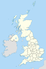
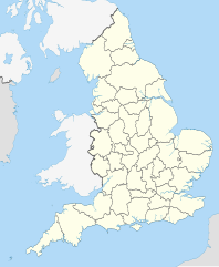
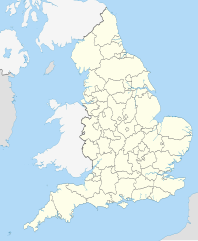
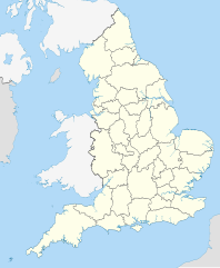
A list of the various blank maps - with national area of coverage - that I have created as part of my mapping project. The page lists maps that cover: Great Britain as a whole, just one of England, Scotland and Wales and in addition England and Wales (but not Scotland). If I get hold of decent Irish data, this will also include for the whole of the UK - and maybe the Republic too.
Great Britain / United Kingdom[edit]
England[edit]
-
Administrative subdivisions


