File:Côte d’Azur map.png
Jump to navigation
Jump to search

Size of this preview: 800 × 495 pixels. Other resolutions: 320 × 198 pixels | 640 × 396 pixels | 1,024 × 633 pixels | 1,280 × 791 pixels | 2,560 × 1,583 pixels | 6,148 × 3,801 pixels.
Original file (6,148 × 3,801 pixels, file size: 11.09 MB, MIME type: image/png)
Captions
Captions
Add a one-line explanation of what this file represents
Summary
[edit]
| Camera location | | View this and other nearby images on: OpenStreetMap |
|---|
| Description |
|
| Date | |
| Source |
|
| Author |
|
| Other versions |
 |
Licensing
[edit]
| This work is licensed under the Open Database License (summary). |
File history
Click on a date/time to view the file as it appeared at that time.
| Date/Time | Thumbnail | Dimensions | User | Comment | |
|---|---|---|---|---|---|
| current | 09:42, 7 May 2022 | | 6,148 × 3,801 (11.09 MB) | Pechristener (talk | contribs) | revised according to disc |
| 22:41, 13 June 2021 |  | 6,148 × 3,801 (11.1 MB) | Pechristener (talk | contribs) | verbesserte Version | |
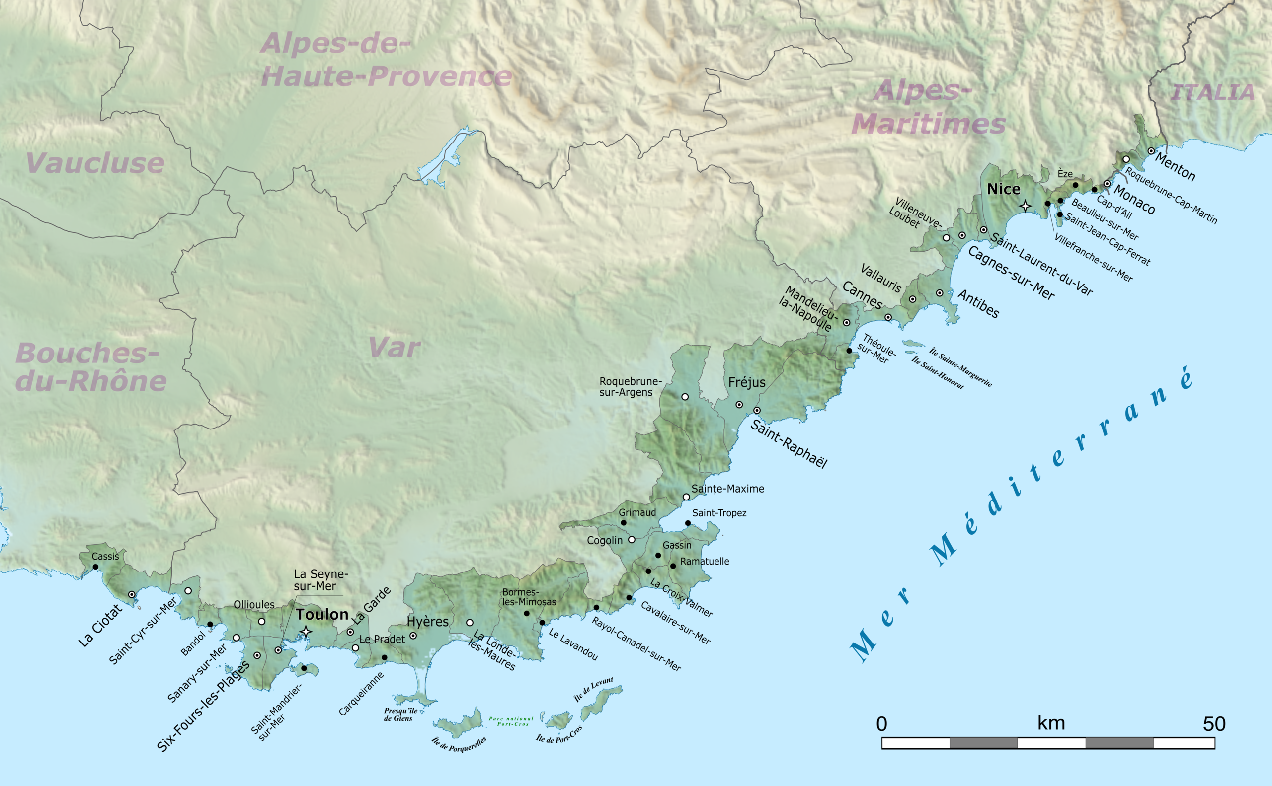
| 21:50, 17 March 2021 |  | 3,689 × 2,281 (5.08 MB) | Pechristener (talk | contribs) | {{Location|43.449856|6.5415625}} {{Information |Description={{en|Map of French Riviera, France.}} {{fr|Carte de la Côte d'Azur, France.}}<br/> Geographic limits of the map:<br/> *Left: 5.359887<br/> *Right: 7.723238<br/> *Top: 43.979415<br/> *Bottom: 42.920297 |Source= * [http://www.openstreetmap.org Openstreetmap] data * relief: STRM data |Date=2021-03-10 |Author= * OpenStreetMap data: openStreetMap contributors * SRT... |
You cannot overwrite this file.
File usage on Commons
The following 3 pages use this file:
File usage on other wikis
The following other wikis use this file:
- Usage on af.wikipedia.org
- Usage on ca.wikipedia.org
- Usage on ceb.wikipedia.org
- Usage on cs.wikipedia.org
- Usage on da.wikipedia.org
- Usage on de.wikipedia.org
- Monaco
- Nizza
- Cannes
- Hyères
- Toulon
- Côte d’Azur
- Bandol
- Sanary-sur-Mer
- Saint-Raphaël
- Saint-Tropez
- Menton
- Fréjus
- Antibes
- Saint-Jean-Cap-Ferrat
- La Croix-Valmer
- Èze
- Cassis
- Gassin
- La Ciotat
- Roquebrune-Cap-Martin
- Villeneuve-Loubet
- Grimaud
- Cagnes-sur-Mer
- Saint-Cyr-sur-Mer
- Le Lavandou
- Bormes-les-Mimosas
- Carqueiranne
- Ramatuelle
- Cogolin
- Villefranche-sur-Mer
- La Seyne-sur-Mer
- Six-Fours-les-Plages
- La Londe-les-Maures
- Sainte-Maxime
- Cavalaire-sur-Mer
- La Garde (Var)
- Le Pradet
- Ollioules
- Saint-Mandrier-sur-Mer
- Roquebrune-sur-Argens
- Saint-Laurent-du-Var
- Beaulieu-sur-Mer
- Cap-d’Ail
- Vallauris
- Mandelieu-la-Napoule
View more global usage of this file.