Category:Maps of Côte d'Azur
Jump to navigation
Jump to search
Media in category "Maps of Côte d'Azur"
The following 12 files are in this category, out of 12 total.
-
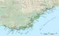
 Bande cotière de Nice à Théoule.svg 500 × 430; 92 KB
-
 Ca. 1623 of Barbary Pirates off the Cote d'Azur, showing the coast from Antibes to St. Tropez.jpg 10,318 × 7,247; 10.28 MB
-
 Costadazur2.png 826 × 514; 187 KB
-
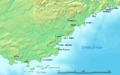
 Cote-d-Azur-est.png 398 × 249; 60 KB
-
 Cotedazur.png 826 × 514; 453 KB
-
 Côte d’Azur location map.svg 3,689 × 2,281; 1.35 MB
-
 Côte d’Azur map.png 6,148 × 3,801; 11.09 MB
-
 Côte d’Azur overview map.png 7,377 × 4,561; 14.04 MB
-
 Côte d’Azur relief location map.png 3,689 × 2,281; 4.65 MB
-
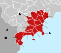
 Côte d’Azur, administrative divisions - de colored.svg 3,689 × 2,281; 3.88 MB
-
 Côte d’Azur, administrative divisions - de.svg 3,689 × 2,281; 3.67 MB
-
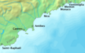
 Littoral de Nice à Menton.svg 450 × 390; 86 KB


