File:Atlas of Franklin County, New York. NYPL1584468.tiff
Jump to navigation
Jump to search

Size of this JPG preview of this TIF file: 497 × 600 pixels. Other resolutions: 199 × 240 pixels | 398 × 480 pixels | 636 × 768 pixels | 849 × 1,024 pixels | 1,697 × 2,048 pixels | 5,428 × 6,550 pixels.
Original file (5,428 × 6,550 pixels, file size: 101.72 MB, MIME type: image/tiff)
Captions
Captions
Add a one-line explanation of what this file represents
Summary[edit]
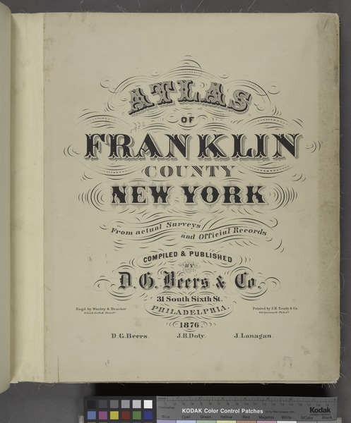
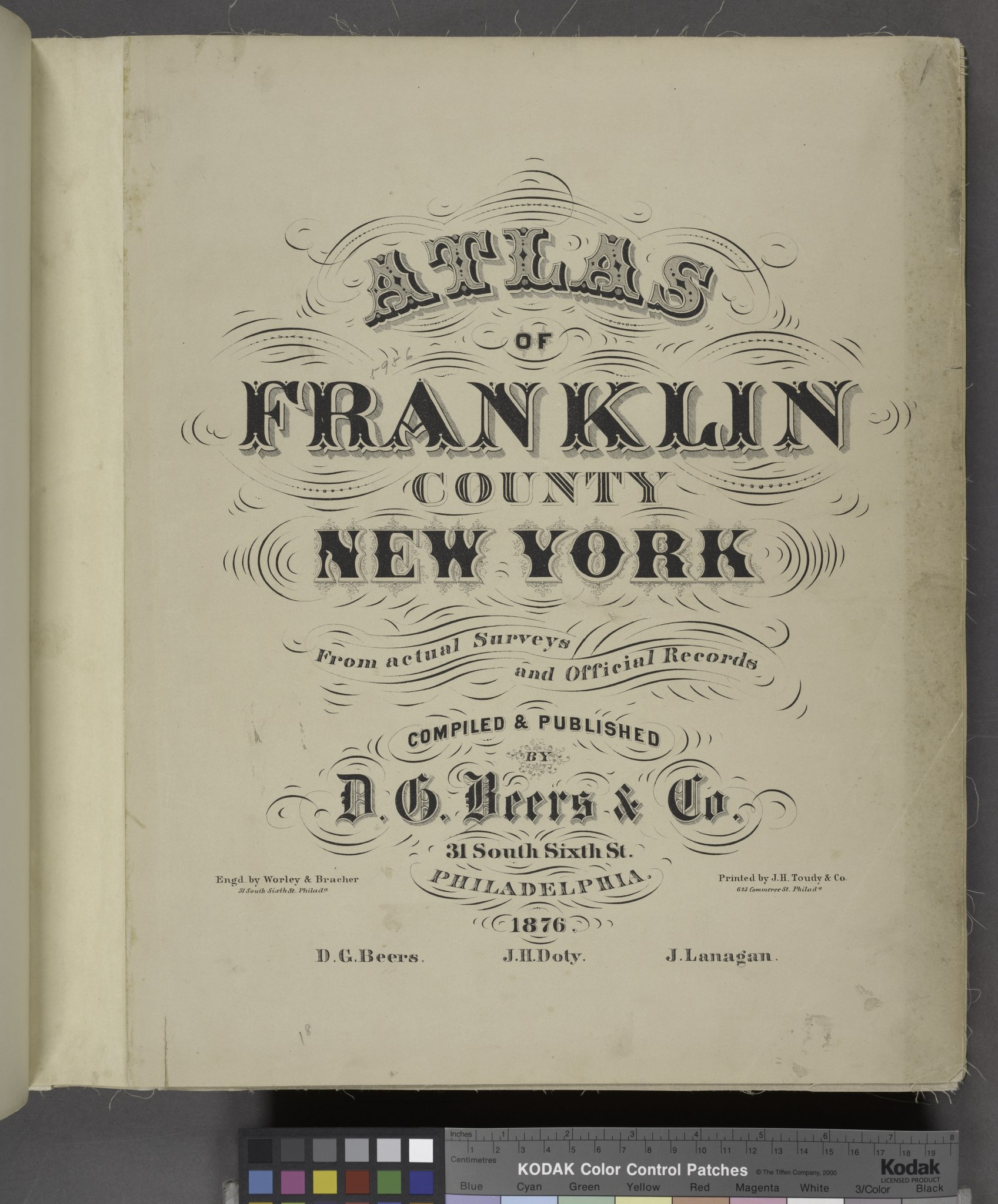
| Description | Atlas of Franklin County, New York.; Atlases of the United States / New York / Atlas of Franklin County, New York. : From actual surveys and official records. | |||||||||||||||||||||||
| Catalogue call number | Map Div.++ (New York State) (Beers, D.G., and Co. Atlas of Franklin County, New York) | |||||||||||||||||||||||
| Item/Page/Plate | Title Page | |||||||||||||||||||||||
| Date | ||||||||||||||||||||||||
| Source |
http://digitalgallery.nypl.org/nypldigital/dgkeysearchdetail.cfm?imageID=1584468
|
|||||||||||||||||||||||
| Author | D.G. Beers and Co. -- Cartographer | |||||||||||||||||||||||
| Permission (Reusing this file) |
From The Lionel Pincus and Princess Firyal Map Division. http://maps.nypl.org
|
|||||||||||||||||||||||
| Source description | 65 p. 21 col. maps (1 fold.) 43 cm. | |||||||||||||||||||||||
| Location | Stephen A. Schwarzman Building / The Lionel Pincus and Princess Firyal Map Division | |||||||||||||||||||||||
| Digital item published | 7-27-2007; updated 3-25-2011 | |||||||||||||||||||||||
| Digital ID | 1584468 | |||||||||||||||||||||||

The making of this file was supported by Wikimedia UK.
To see other files made with the support of Wikimedia UK, please see the category Supported by Wikimedia UK.
|
File history
Click on a date/time to view the file as it appeared at that time.
| Date/Time | Thumbnail | Dimensions | User | Comment | |
|---|---|---|---|---|---|
| current | 23:26, 20 April 2014 |  | 5,428 × 6,550 (101.72 MB) | Fæ (talk | contribs) | GWToolset:: Creating mediafile for Fæ. Tranche 2.2191 |
You cannot overwrite this file.
File usage on Commons
There are no pages that use this file.