File:1871 New England railroad map.jpg
Jump to navigation
Jump to search
Size of this preview: 457 × 599 pixels. Other resolutions: 183 × 240 pixels | 366 × 480 pixels | 586 × 768 pixels | 781 × 1,024 pixels | 1,563 × 2,048 pixels | 4,772 × 6,252 pixels.
Original file (4,772 × 6,252 pixels, file size: 6.68 MB, MIME type: image/jpeg)
Captions
Captions
Add a one-line explanation of what this file represents
| Description |
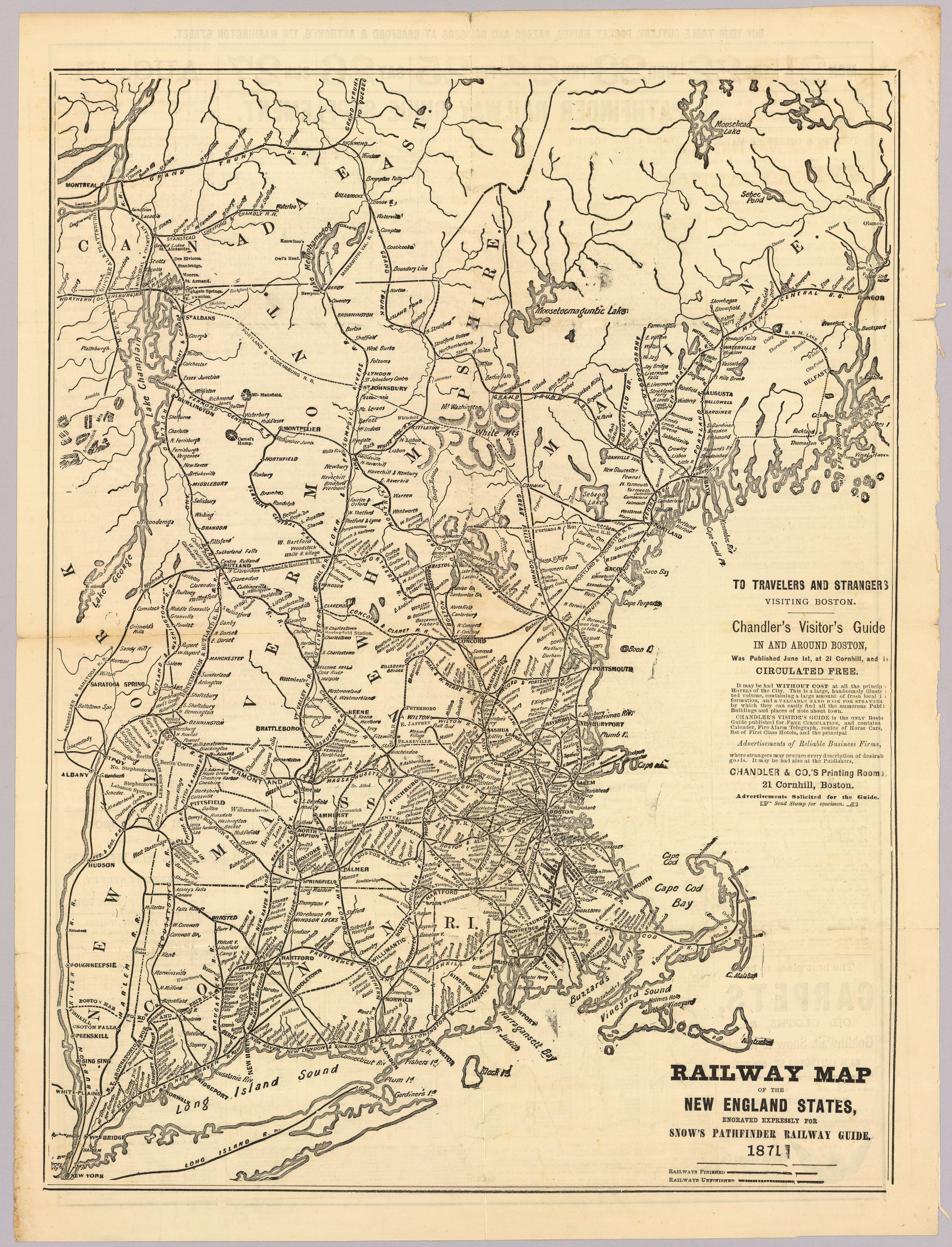
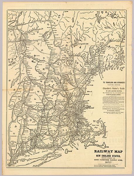
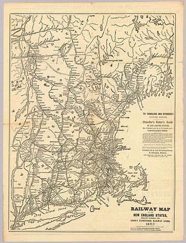
English: Railway map of the New England States, engraved expressly for Snow's Pathfinder railway guide, 1871. |
||
| Date | |||
| Source | David Rumsey Map Collection | ||
| Author | George K. Snow & Bradlee, publisher | ||
| Permission (Reusing this file) |
|
File history
Click on a date/time to view the file as it appeared at that time.
| Date/Time | Thumbnail | Dimensions | User | Comment | |
|---|---|---|---|---|---|
| current | 02:02, 27 August 2013 | | 4,772 × 6,252 (6.68 MB) | Pi.1415926535 (talk | contribs) | {{Information |Description ={{en|1=''Railway map of the New England States, engraved expressly for Snow's Pathfinder railway guide, 1871.''}} |Source =[http://www.davidrumsey.com/luna/servlet/s/5go5s5 David Rumsey Map Collection] |Author ... |
You cannot overwrite this file.
File usage on Commons
The following page uses this file:
File usage on other wikis
The following other wikis use this file:
- Usage on en.wikipedia.org
- Usage on www.wikidata.org
Metadata
Categories:
- Rail transport maps of Massachusetts
- Rail transport maps of Connecticut
- Rail transport maps of Rhode Island
- Rail transport maps of Vermont
- Rail transport maps of New Hampshire
- Rail transport maps of Maine
- Rail transport maps of New York (state)
- Maps of the New York, New Haven and Hartford Railroad
- Maps of the Boston and Maine Railroad
- 1871 maps of the United States
- David Rumsey Historical Map Collection