Category:SVG labeled maps of administrative divisions of Bavaria (location map scheme)
Jump to navigation
Jump to search


.svg)


_(Paris_zoom).svg)
.svg)
,_administrative_divisions_-_de_-_colored_(multizoom).svg)
_-_colored.svg)
.svg)
,_administrative_divisions_-_Nmbrs_(multizoom).svg)
,_administrative_divisions_-_de_-_colored.svg)
_-_de_-_colored.svg)

.svg)

.svg)
Federal states of Germany:
Media in category "SVG labeled maps of administrative divisions of Bavaria (location map scheme)"
The following 28 files are in this category, out of 28 total.
-
-

-
 Bavaria, administrative divisions (districts only) - de - colored.svg 867 × 855; 2.3 MB
-
 Bavaria, administrative divisions (districts only) - de - monochrome.svg 867 × 855; 2.3 MB
-
-

-
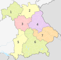
 Bavaria, administrative divisions (districts only) - Nmbrs - colored.svg 867 × 855; 2.3 MB
-

-

-

-

-
-

-
-
-

-

-

-
 Bavaria, administrative divisions - de - colored (less colors).svg 867 × 855; 2.3 MB
-
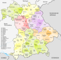
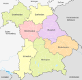
 Bavaria, administrative divisions - de - colored.svg 867 × 855; 2.43 MB
-
 Bavaria, administrative divisions - de - monochrome.svg 867 × 855; 2.3 MB
-
 Bavaria, administrative divisions - Nmbrs - colored (less colors).svg 867 × 855; 2.3 MB
-
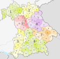 Bavaria, administrative divisions - Nmbrs - colored.svg 867 × 855; 2.3 MB
-
 Bavaria, administrative divisions - Nmbrs - monochrome.svg 867 × 855; 2.3 MB
-
 Locator map RB in Bavaria colored no water zoned.svg 867 × 855; 1.26 MB
-
 Locator map RB in Bavaria colored no water.svg 867 × 855; 1.26 MB
-
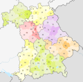
 Locator map RB in Bavaria colored.svg 867 × 855; 1.31 MB
-
 Locator map RB in Bavaria.svg 867 × 855; 1.26 MB
_-_de_(government_district_sorted)_-_colored.svg)
_-_de_(government_district_sorted)_-_monochrome.svg)
_-_de_-_colored.svg)
_-_de_-_monochrome.svg)
_-_Nmbrs_(government_district_sorted)_-_colored.svg)
_-_Nmbrs_(government_district_sorted)_-_monochrome.svg)
_-_Nmbrs_-_colored.svg)
_-_Nmbrs_-_monochrome.svg)
_-_de_-_colored_(less_colors).svg)
_-_de_-_colored_(more_colors).svg)
_-_de_-_monochrome.svg)
_-_Nmbrs_-_colored_(less_colors).svg)
_-_Nmbrs_-_colored_(more_colors).svg)
_-_Nmbrs_-_monochrome.svg)
_-_de_-_colored.svg)
_-_de_-_monochrome.svg)
_-_Nmbrs_-_colored.svg)
_-_Nmbrs_-_monochrome.svg)
.svg)


.svg)


