Maps of Greece
Appearance
- Maps are also available as part of the
 Wikimedia Atlas of the World project in the Atlas of Greece.
-
Location map of Greece
-
Location map of Greece in Europe
-
Map of Greece from CIA World Factbook
(English text) -
Map of Greece from CIA World Factbook
(German text) -
Map of Greece from CIA World Factbook
(Spanish text) -
Map of Greece from CIA World Factbook
(Hebrew text) -
Map of Greece from CIA World Factbook
(Dutch text) -
Map of Greece from CIA World Factbook
(Swedish text) -
Satellite image of Greece in March 2003
Peripheries of Greece
[edit]-
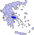
Map of Attica
-
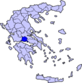
Map of Central Greece
-
Map of Central Macedonia
-
Map of Crete
-
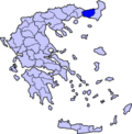
Map of East Macedonia & Thrace
-
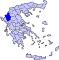
Map of Epirus
-
Map of the Ionian Islands
-
Map of North Aegean
-
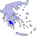
Map of Peloponnesus
-
Map of South Aegean
-
Map of Thessaly
-
Map of West Macedonia
Prefectures of Greece
[edit]-
Map of Aitolia-Acarnania
-
Map of Arcadia
-
Map of Argolis
-
Map of Chania
-
Map of Chios
-
Map of Corinth
-
Map of Euritania
-
Map of Florina
-
Map of Fthitis
-
Map of Fokis
-
Map of Imathia
-
Map of Lesbos
-
Map of Kilkis
-
Map of Pella
-
Map of Viotia
-
Map of Grevena
-
Map of Evros
-
Map of Drama
-
Map of Dodecanese
-
Map of Cyclades
-
Map of Corfu
-
Map of Laconia
-
Map of Kozani
-
Map of Kefallinia
-
Map of Kastoria
-
Map of Kardhitsa
-
Map of Kavala
-
Map of Ioannina
-
Map of Larissa
-
Map of Levkas
-
Map of Magnesia
-
Map of Messinia
-
Map of Preveza
-
Map of Rodhopi
-
Map of Thesprotia
-
Map of Thessalonika
-
Map of Serres
-
Map of Zakinthos
-
Map of Xanthi
-
Map of Trikala
-
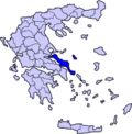
Map of Euboea


