File:USA Colorado location map.svg
Jump to navigation
Jump to search

Size of this PNG preview of this SVG file: 800 × 587 pixels. Other resolutions: 320 × 235 pixels | 640 × 470 pixels | 1,024 × 751 pixels | 1,280 × 939 pixels | 2,560 × 1,879 pixels | 1,067 × 783 pixels.
Original file (SVG file, nominally 1,067 × 783 pixels, file size: 183 KB)
Captions
Captions
Add a one-line explanation of what this file represents
Summary
[edit]| Description |
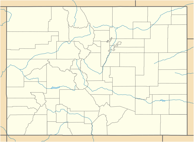
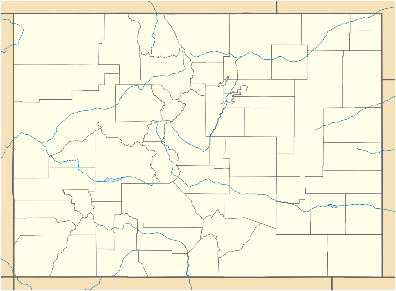
Quadratische Plattkarte, N-S-Streckung 125 %. Geographische Begrenzung der Karte:
Equirectangular projection, N/S stretching 125 %. Geographic limits of the map:
|
||
| Date | 09-06-2009 | ||
| Source |
own work, using
|
||
| Author | NordNordWest | ||
| Other versions |
Derivative works of this file: |
||
| SVG development |
|

Licensing
[edit]
I, the copyright holder of this work, hereby publish it under the following licenses:

|
Permission is granted to copy, distribute and/or modify this document under the terms of the GNU Free Documentation License, Version 1.2 or any later version published by the Free Software Foundation; with no Invariant Sections, no Front-Cover Texts, and no Back-Cover Texts. A copy of the license is included in the section entitled GNU Free Documentation License. |
This file is licensed under the Creative Commons Attribution 3.0 Unported license.
- You are free:
- to share – to copy, distribute and transmit the work
- to remix – to adapt the work
- Under the following conditions:
- attribution – You must give appropriate credit, provide a link to the license, and indicate if changes were made. You may do so in any reasonable manner, but not in any way that suggests the licensor endorses you or your use.
You may select the license of your choice.
File history
Click on a date/time to view the file as it appeared at that time.
| Date/Time | Thumbnail | Dimensions | User | Comment | |
|---|---|---|---|---|---|
| current | 18:06, 12 June 2009 | | 1,067 × 783 (183 KB) | NordNordWest (talk | contribs) | {{Information |Description= {{de|Positionskarte von Colorado, USA}} Quadratische Plattkarte, N-S-Streckung 125 %. Geographische Begrenzung der Karte: * N: 41.2° N * S: 36.8° N * W: 109.3° W * O: 101.8° W {{en|Location map |
You cannot overwrite this file.
File usage on Commons
More than 100 pages use this file. The following list shows the first 100 pages that use this file only. A full list is available.
- User:NordNordWest/Gallery/Location maps
- Category:1940 in Colorado
- Category:1941 in Colorado
- Category:1942 in Colorado
- Category:1943 in Colorado
- Category:1958 in Colorado
- Category:1962 in Colorado
- Category:1963 in Colorado
- Category:1964 in Colorado
- Category:1966 in Colorado
- Category:1969 in Colorado
- Category:1972 in Colorado
- Category:1986 in Colorado
- Category:1999 in Colorado
- Category:2000 in Colorado
- Category:2002 in Colorado
- Category:2003 in Colorado
- Category:2004 in Colorado
- Category:2005 in Colorado
- Category:2006 in Colorado
- Category:2007 in Colorado
- Category:2008 in Colorado
- Category:2009 in Colorado
- Category:2010 in Colorado
- Category:2011 in Colorado
- Category:Agriculture in Colorado
- Category:Airports in Colorado
- Category:Archaeological sites in Colorado
- Category:Architecture of Colorado
- Category:Association football venues in Colorado
- Category:Barns in Colorado
- Category:Bikeways in Colorado
- Category:Bodies of water in Colorado
- Category:Botanical gardens in Colorado
- Category:Bridges in Colorado
- Category:Canyons in Colorado
- Category:Caves of Colorado
- Category:Cemeteries in Colorado
- Category:Cities in Colorado
- Category:Colorado
- Category:Colorado by decade
- Category:Colorado in the 1870s
- Category:Colorado in the 1880s
- Category:Colorado in the 1890s
- Category:Colorado in the 1900s
- Category:Colorado in the 1910s
- Category:Colorado in the 1920s
- Category:Colorado in the 1930s
- Category:Colorado in the 1940s
- Category:Colorado in the 1950s
- Category:Colorado in the 1960s
- Category:Colorado in the 1970s
- Category:Colorado in the 1980s
- Category:Colorado in the 1990s
- Category:Colorado in the 19th century
- Category:Colorado in the 2000s
- Category:Colorado in the 2010s
- Category:Colorado in the 20th century
- Category:Colorado in the 21st century
- Category:Culture of Colorado
- Category:Dams in Colorado
- Category:Demographics of Colorado
- Category:Education in Colorado
- Category:Energy in Colorado
- Category:Flora of Colorado
- Category:Footbridges in Colorado
- Category:Forests in Colorado
- Category:Geology of Colorado
- Category:Glaciers of Colorado
- Category:Hiking trails in Colorado
- Category:Hospitals in Colorado
- Category:Ice hockey venues in Colorado
- Category:Lakes of Colorado
- Category:Libraries in Colorado
- Category:Maps of Colorado
- Category:Mountain passes of Colorado
- Category:Mountain ranges of Colorado
- Category:National Forests of Colorado
- Category:National Wildlife Refuges in Colorado
- Category:Parks in Colorado
- Category:Photographs of Colorado
- Category:Power plants in Colorado
- Category:Protected areas of Colorado
- Category:Rail transport in Colorado
- Category:Railway bridges in Colorado
- Category:Religion in Colorado
- Category:Reservoirs in Colorado
- Category:Rivers of Colorado
- Category:Roads in Colorado
- Category:Rock formations in Colorado
- Category:Schools in Colorado
- Category:Shopping malls in Colorado
- Category:Skyscrapers in Colorado
- Category:Streets in Colorado
- Category:Towers in Colorado
- Category:Tunnels in Colorado
- Category:Unincorporated communities in Colorado
- Category:Valleys of Colorado
- Category:Visitor attractions in Colorado
- Category:Waterfalls in Colorado
View more links to this file.
File usage on other wikis
The following other wikis use this file:
- Usage on af.wikipedia.org
- Usage on als.wikipedia.org
- Usage on an.wikipedia.org
- Usage on ar.wikipedia.org
- Usage on azb.wikipedia.org
- برندون، کولورادو
- آنتن، کولورادو
- بوفالو کریک، کولورادو
- کامپیون، کولورادو
- هیستی، کولورادو
- ولمانت، کولورادو
- کوتوپاکسی، کولورادو
- پارشال، کولورادو
- مککوی، کولورادو
- آیدلدیل، کولورادو
- قلد هیل، کولورادو
- راک کریک پارک، کولورادو
- چاکرا، کولورادو
- لینر، کولورادو
- لوئیس، کولورادو
- هوارد، کولورادو
- نو نیم، کولورادو
- قلدفیلد، کولورادو
- کولدیل، کولورادو
- بونانزا ماونتین استیتس، کولورادو
- واتیکنز، کولورادو
- پاینبروک هیل، کولورادو
- ماونتین میدوز، کولورادو
- سانشاین، کولورادو
- بارک رنچ، کولورادو
- کاترین، کولورادو
- پرقان استیتس، کولورادو
- سنت آن هایلند، کولورادو
- راش، کولورادو
- کوردیلرا، کولورادو
- دیواید، کولورادو
- کامو، کولورادو
- بیور کریک، کولورادو
- لوما، کولورادو
- فاریستا، کولورادو
- هواردزویل، کولورادو
- فالکون، کولورادو
- جفرسون، کولورادو
- کتل کریک، کولورادو
- قرانیت، کولورادو
- داتسرو، کولورادو
- سارجنتس، کولورادو
- کولمانت، کولورادو
- پاینکلیف، کولورادو
View more global usage of this file.