File:Tierra nveva (NYPL b15307938-434490)(c).jpg

Original file (4,160 × 2,912 pixels, file size: 1.93 MB, MIME type: image/jpeg)
Captions
Captions
Summary
[edit]| Description |
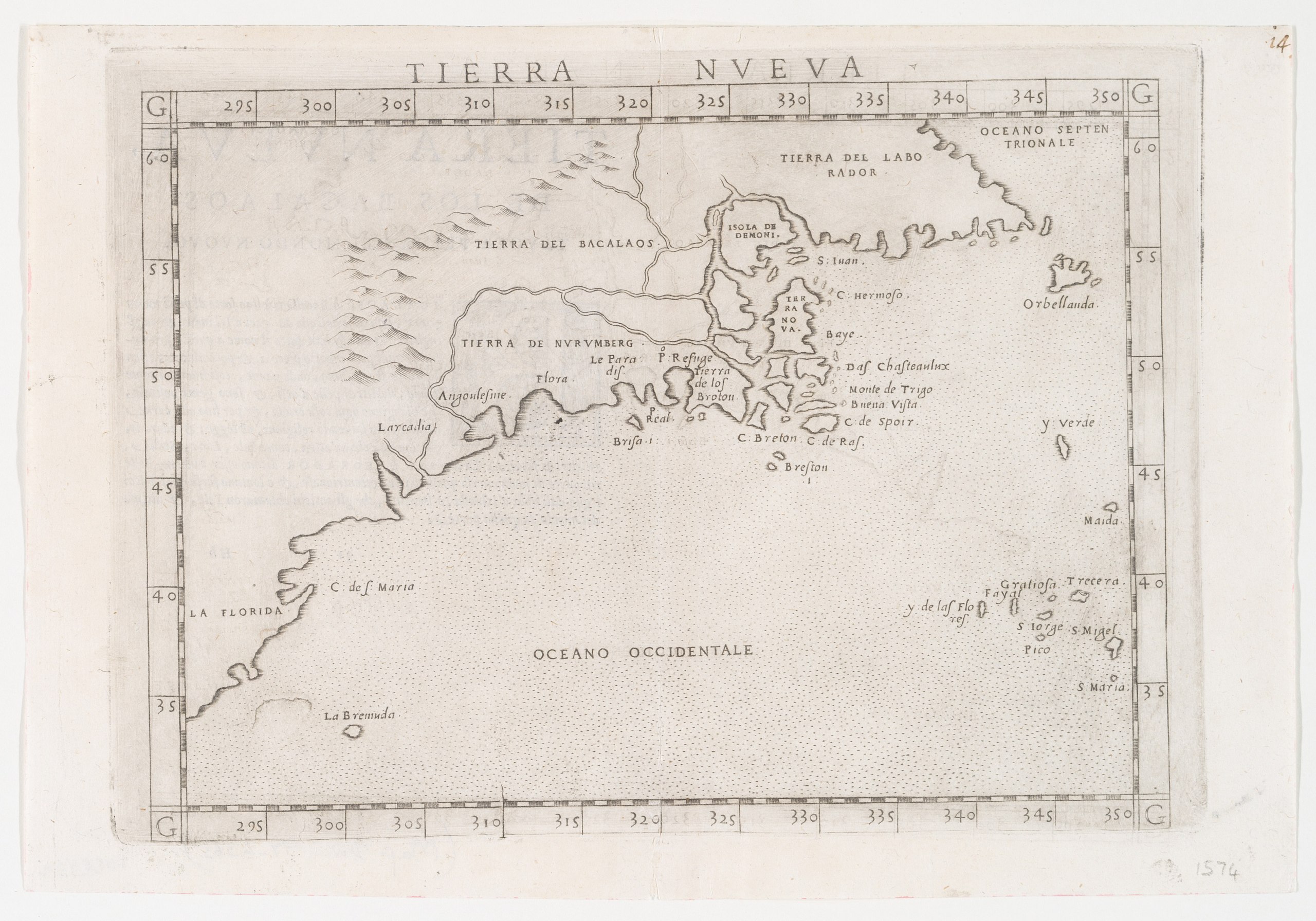
English: * Appears in Ruscelli's edition of Ptolemy's Geografia di Claudio Tolomeo Alessandrino. 1574.
|
||
| Title | Tierra nveva. | ||
| Date | |||
| Source | https://digitalcollections.nypl.org/items/510d47da-ef2c-a3d9-e040-e00a18064a99 | ||
| Author | Scan by NYPL | ||
| Permission (Reusing this file) |
|
||
| Other versions |
|
||
| UUID | 43ce9db0-c5d5-012f-579b-58d385a7bc34 | ||
| MODS | http://api.repo.nypl.org/api/v1/items/mods/510d47da-ef2c-a3d9-e040-e00a18064a99 | ||
| Origin place | Ziletti?, | ||
| Image ID | 434490 | ||
| Collection | Lawrence H. Slaughter Collection of English maps, charts, globes, books and atlases | ||
| Collection UUID | 510d47da-ef2c-a3d9-e040-e00a18064a99 | ||
| NYPL catalog ID | b15307938 |
.jpg)
.jpg)

.jpg)


(c).jpg&action=edit§ion=1)
Licensing
[edit](c).jpg&action=edit§ion=2)
This image is in the public domain because it is a mere mechanical scan or photocopy of a public domain original, or – from the available evidence – is so similar to such a scan or photocopy that no copyright protection can be expected to arise. The original itself is in the public domain for the following reason:
This tag is designed for use where there may be a need to assert that any enhancements (eg brightness, contrast, colour-matching, sharpening) are in themselves insufficiently creative to generate a new copyright. It can be used where it is unknown whether any enhancements have been made, as well as when the enhancements are clear but insufficient. For known raw unenhanced scans you can use an appropriate {{PD-old}} tag instead. For usage, see Commons:When to use the PD-scan tag.  | ||||
File history
Click on a date/time to view the file as it appeared at that time.
| Date/Time | Thumbnail | Dimensions | User | Comment | |
|---|---|---|---|---|---|
| current | 20:14, 1 March 2019 | | 4,160 × 2,912 (1.93 MB) | User-duck (talk | contribs) | File:Tierra nveva (NYPL b15307938-434490).jpg cropped using CropTool with lossless mode. |
You cannot overwrite this file.
File usage on Commons
The following page uses this file:
(c).jpg&oldid=741545286)
- Lawrence H. Slaughter Collection of English maps, charts, globes, books and atlases
- Old maps of Virginia
- Extra-Ptolemaic maps of the Americas
- 1570s maps of the Americas
- 1574 maps of North America
- Italian-language maps
- Old maps of South Carolina
- 16th-century maps of North Carolina
- Old maps of New Jersey
- Old maps of New York (state)
- Old maps of Connecticut
- Old maps of Rhode Island
- 16th-century maps of Massachusetts
- Old maps of Maine
- Old maps of Florida
- Maps of Labrador
- Maps of New England
- 16th-century maps of the United States