File:South Carolina Level IV ecoregions.pdf
Jump to navigation
Jump to search

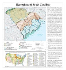
Size of this JPG preview of this PDF file: 570 × 599 pixels. Other resolutions: 228 × 240 pixels | 457 × 480 pixels | 731 × 768 pixels | 974 × 1,024 pixels | 1,948 × 2,048 pixels | 2,925 × 3,075 pixels.
Original file (2,925 × 3,075 pixels, file size: 970 KB, MIME type: application/pdf)
Captions
Captions
Add a one-line explanation of what this file represents
Summary
[edit]| Description |
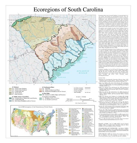
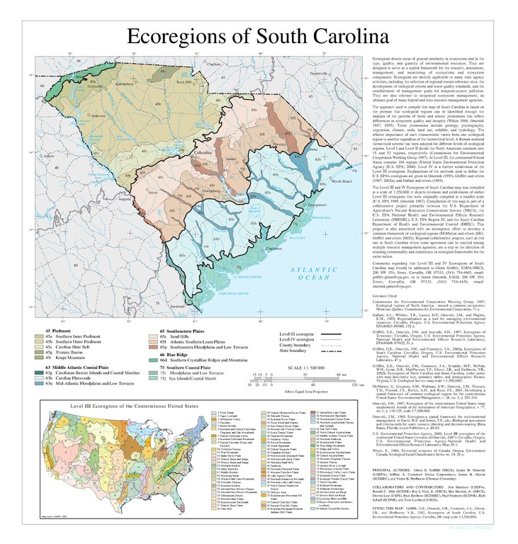
English: Map of Level IV ecoregions in the U.S. state of South Carolina, as defined by the United States Environmental Protection Agency.
|
|||||
| Date | ||||||
| Source | ftp://newftp.epa.gov/EPADataCommons/ORD/Ecoregions/sc/sc_eco.pdf | |||||
| Author | Griffith, G.E., Omernik, J.M., Comstock, J.A., Glover, J.B., and Shelburne, V.B. |
File history
Click on a date/time to view the file as it appeared at that time.
| Date/Time | Thumbnail | Dimensions | User | Comment | |
|---|---|---|---|---|---|
| current | 13:11, 20 October 2018 |  | 2,925 × 3,075 (970 KB) | TimK MSI (talk | contribs) | {{Information |description ={{en|1=Map of Level IV ecoregions in the U.S. state of South Carolina, as defined by the United States Environmental Protection Agency. {{PD-USGov-EPA}}}} |date =2002 |source =ftp://newftp.epa.gov/EPADataCommons/ORD/Ecoregions/sc/sc_eco.pdf |author =Griffith, G.E., Omernik, J.M., Comstock, J.A., Glover, J.B., and Shelburne, V.B. }} Category:Maps of EPA ecoregions Category:Maps of South Carolina [[Category:2002 maps of... |
You cannot overwrite this file.
File usage on Commons
There are no pages that use this file.