File:Somervell County - Robertson Land District East of the Brazos, Milam Land District West of the Brazos LOC 2012590063.tif
Jump to navigation
Jump to search

Size of this JPG preview of this TIF file: 551 × 600 pixels. Other resolutions: 220 × 240 pixels | 441 × 480 pixels | 705 × 768 pixels | 940 × 1,024 pixels | 1,881 × 2,048 pixels | 7,720 × 8,406 pixels.
Original file (7,720 × 8,406 pixels, file size: 185.66 MB, MIME type: image/tiff)
Captions
Captions
Add a one-line explanation of what this file represents
Summary
[edit]| Description |
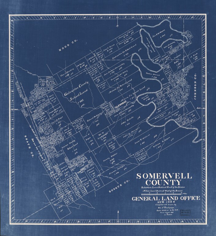
English: Blueprint Shows land ownership. "General Land Office, Aug 1884." "Traced August 1934 by Jas. Woodland." LC Land ownership maps, 1129 Available also through the Library of Congress Web site as a raster image. |
||
| Title | Somervell County : Robertson Land District East of the Brazos, Milam Land District West of the Brazos | ||
| Shelf ID | G4033.S6 1884 .T5 | ||
| Date | |||
| Source | https://www.loc.gov/item/2012590063/ | ||
| Author | Thielepape, Geo. J.; Texas. General Land Office | ||
| Permission (Reusing this file) |
|
||
| Other versions |
|
||
| Location | United States · Somervell County · Texas | ||
| Part of | American Memory · Catalog · County Landownership Maps · Geography And Map Division · Cultural Landscapes | ||
| Subject | Somervell County (Tex.) · Cadastral Maps · Somervell County · United States · Maps · Real Property · Landowners · Texas |


Licensing
[edit]|
This is a faithful photographic reproduction of a two-dimensional, public domain work of art. The work of art itself is in the public domain for the following reason:
The official position taken by the Wikimedia Foundation is that "faithful reproductions of two-dimensional public domain works of art are public domain".
This photographic reproduction is therefore also considered to be in the public domain in the United States. In other jurisdictions, re-use of this content may be restricted; see Reuse of PD-Art photographs for details. | ||||
File history
Click on a date/time to view the file as it appeared at that time.
| Date/Time | Thumbnail | Dimensions | User | Comment | |
|---|---|---|---|---|---|
| current | 08:02, 26 June 2018 |  | 7,720 × 8,406 (185.66 MB) | Fæ (talk | contribs) | LOC Maps https://www.loc.gov/item/2012590063/ #29119 |
You cannot overwrite this file.
File usage on Commons
The following page uses this file: