File:Skye parish map.jpg
Jump to navigation
Jump to search
No higher resolution available.
Skye_parish_map.jpg (407 × 562 pixels, file size: 36 KB, MIME type: image/jpeg)
Captions
Captions
Add a one-line explanation of what this file represents
| Description |
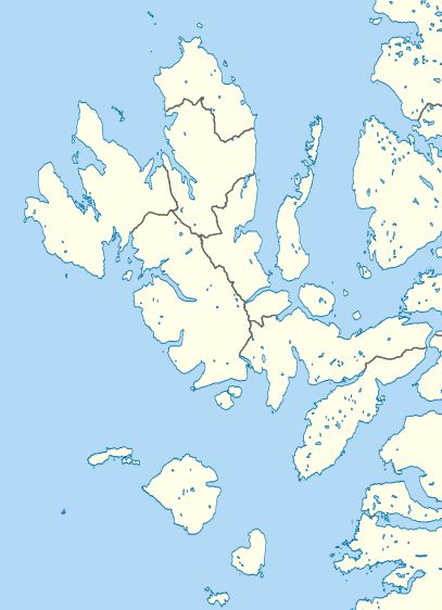
Blank map of w:Skye, Scotland with parishes shown. Equirectangular map projection on WGS 84 datum, with N/S stretched 180% |
| Date | |
| Source |
General Register Office for Scotland |
| Author | Nilfanion, created using Ordnance Survey data |
| Permission (Reusing this file) |
This file is licensed under the Creative Commons Attribution-Share Alike 3.0 Unported license. Attribution: Contains Ordnance Survey data © Crown copyright and database right 2013 Contains NRS data © Crown copyright and database right 2013
|
.svg)
File history
Click on a date/time to view the file as it appeared at that time.
| Date/Time | Thumbnail | Dimensions | User | Comment | |
|---|---|---|---|---|---|
| current | 10:25, 1 July 2017 | | 407 × 562 (36 KB) | Ratzer (talk | contribs) | User created page with UploadWizard |
You cannot overwrite this file.
File usage on Commons
There are no pages that use this file.
File usage on other wikis
The following other wikis use this file:
- Usage on de.wikipedia.org
- Usage on en.wikipedia.org
- Usage on vi.wikipedia.org