Category:Civil parishes in Scotland
Jump to navigation
Jump to search
civil administrative division of Scotland, below the level of local authority | |||||
| Upload media | |||||
| Subclass of |
| ||||
|---|---|---|---|---|---|
| Location |
| ||||
| |||||
Subcategories
This category has the following 33 subcategories, out of 33 total.
A
C
D
E
F
G
H
I
M
N
O
P
R
S
W
Media in category "Civil parishes in Scotland"
The following 38 files are in this category, out of 38 total.
-
 Aberdeen UK parish map (blank).svg 1,425 × 1,189; 720 KB
-
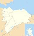
 Aberdeenshire UK parish map (blank).svg 1,425 × 1,253; 1.68 MB
-
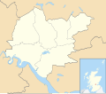
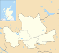
 Angus UK parish map (blank).svg 1,425 × 1,400; 1.07 MB
-
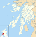 Argyll and Bute UK parish map (blank).svg 1,336 × 1,384; 2.61 MB
-
 Clackmannanshire UK parish map (blank).svg 1,425 × 1,248; 797 KB
-
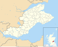
 Dumfries and Galloway UK parish map (blank).svg 1,425 × 969; 1.86 MB
-
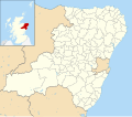
 Dundee UK parish map (blank).svg 1,425 × 1,112; 656 KB
-
 East Ayrshire UK parish map (blank).svg 905 × 1,345; 1.06 MB
-
 East Dunbartonshire UK parish map (blank).svg 1,425 × 1,279; 746 KB
-
 East Lothian UK parish map (blank).svg 1,425 × 1,164; 947 KB
-
 East Renfrewshire UK parish map (blank).svg 1,425 × 1,348; 754 KB
-
 Edinburgh UK parish map (blank).svg 1,330 × 1,384; 757 KB
-
 Falkirk UK parish map (blank).svg 1,425 × 1,313; 891 KB
-
 Fife UK parish map (blank).svg 1,425 × 1,152; 1.37 MB
-
 Glasgow UK parish map (blank).svg 1,357 × 1,384; 822 KB
-
 Glasserton Dumfries and Galloway UK parish map.svg 1,425 × 969; 1.86 MB
-
 Highland UK parish map (blank).svg 1,320 × 1,424; 3.93 MB
-
 Highland UK parish map showing Tarbat parish.svg 1,320 × 1,424; 3.35 MB
-
 Inverclyde UK parish map (blank).svg 1,417 × 1,384; 722 KB
-
 Midlothian UK parish map (blank).svg 1,425 × 1,313; 858 KB
-
 Moray UK parish map (blank).svg 1,414 × 1,424; 1.05 MB
-
 North Ayrshire UK parish map (blank).svg 1,425 × 1,372; 1.22 MB
-
 North Lanarkshire UK parish map (blank).svg 1,176 × 1,384; 910 KB
-
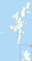
 Northmavine Shetland UK parish map (blank).svg 832 × 1,582; 1.5 MB
-
 Orkney Islands UK parish map (blank).svg 1,110 × 1,424; 1.31 MB
-
 Outer Hebrides UK parish map (blank).svg 1,083 × 1,424; 2.37 MB
-
 Perth and Kinross UK parish map (blank).svg 1,425 × 1,248; 1.52 MB
-
 Renfrewshire UK parish map (blank).svg 1,425 × 1,168; 893 KB
-
 Scotland Civil Parishes map.svg 1,023 × 1,345; 3.72 MB
-
 Scottish Borders UK parish map (blank).svg 1,425 × 1,322; 1.65 MB
-
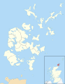
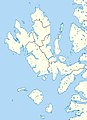
 Shetland UK parish map (blank).svg 832 × 1,582; 1.54 MB
-
 Skye parish map.jpg 407 × 562; 36 KB
-
 South Ayrshire UK parish map (blank).svg 1,040 × 1,345; 1.08 MB
-
 South Lanarkshire UK parish map (blank).svg 1,319 × 1,345; 1.09 MB
-
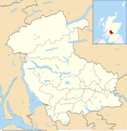 Stirling UK parish map (blank).svg 1,347 × 1,384; 1.17 MB
-
 West Dunbartonshire UK parish map (blank).svg 1,116 × 1,384; 735 KB
-
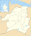
 West Lothian UK parish map (blank).svg 1,214 × 1,384; 871 KB
-
 West Lothian UK parish map Boness.svg 1,214 × 1,384; 870 KB


.svg)
.svg)
.svg)
.svg)
.svg)
.svg)
.svg)
.svg)
.svg)
.svg)
.svg)
.svg)
.svg)
.svg)
.svg)
.svg)
.svg)
.svg)
.svg)
.svg)
.svg)
.svg)
.svg)
.svg)
.svg)
.svg)
.svg)
.svg)
.svg)
.svg)
.svg)
.svg)
.svg)