File:Planning report-draft environmental statement on Westside Irrigation Project - Pick-Sloan Missouri Basin Program, Big Horn Basin Division, Wyoming (IA planningreportdr00unit 0).pdf
Jump to navigation
Jump to search

Size of this JPG preview of this PDF file: 439 × 600 pixels. Other resolutions: 176 × 240 pixels | 351 × 480 pixels | 562 × 768 pixels | 749 × 1,024 pixels | 1,602 × 2,189 pixels.

Original file (1,602 × 2,189 pixels, file size: 40.72 MB, MIME type: application/pdf, 220 pages)
Captions
Captions
Add a one-line explanation of what this file represents
Summary
[edit]| Planning report/draft environmental statement on Westside Irrigation Project : Pick-Sloan Missouri Basin Program, Big Horn Basin Division, Wyoming
( |
||
|---|---|---|
| Author |
|
 |
| Title |
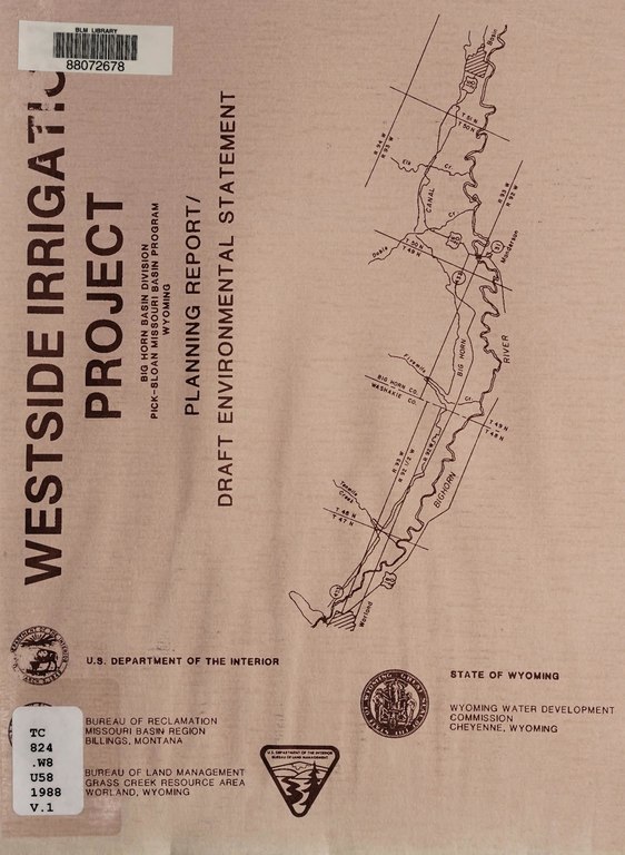
Planning report/draft environmental statement on Westside Irrigation Project : Pick-Sloan Missouri Basin Program, Big Horn Basin Division, Wyoming |
|
| Publisher |
[Billings, Mont.] : [U.S. Department of the Interior, Bureau of Reclamation, Missouri Basin Region] |
|
| Description |
Subjects: Pick-Sloan Missouri Basin Program (U.S.); Pick-Sloan Missouri Basin Program (U.S.); Water resources development; Water resources development; Irrigation; Irrigation; Land use; Public lands; Irrigation; Water resources development; Land use; Public lands |
|
| Language | English | |
| Publication date | 1988 | |
| Current location |
IA Collections: blmlibrary; fedlink; americana |
|
| Accession number |
planningreportdr00unit_0 |
|
| Notes |
Slight water damage. Text lost in spiral binding. No Copyright found. |
|
| Source | ||
Licensing
[edit]This work is in the public domain in the United States because it is a work prepared by an officer or employee of the United States Government as part of that person’s official duties under the terms of Title 17, Chapter 1, Section 105 of the US Code.
Note: This only applies to original works of the Federal Government and not to the work of any individual U.S. state, territory, commonwealth, county, municipality, or any other subdivision. This template also does not apply to postage stamp designs published by the United States Postal Service since 1978. (See § 313.6(C)(1) of Compendium of U.S. Copyright Office Practices). It also does not apply to certain US coins; see The US Mint Terms of Use.
|
 | |
| This file has been identified as being free of known restrictions under copyright law, including all related and neighboring rights. | ||
File history
Click on a date/time to view the file as it appeared at that time.
| Date/Time | Thumbnail | Dimensions | User | Comment | |
|---|---|---|---|---|---|
| current | 10:43, 6 July 2020 |  | 1,602 × 2,189, 220 pages (40.72 MB) | Fæ (talk | contribs) | FEDLINK - United States Federal Collection planningreportdr00unit_0 (User talk:Fæ/IA books#Fork8) (batch 1987-1989 #5224) |
You cannot overwrite this file.
File usage on Commons
The following page uses this file: