File:Map of Helsinki-Helsingfors 1935.jpeg
Jump to navigation
Jump to search

Size of this preview: 661 × 599 pixels. Other resolutions: 265 × 240 pixels | 529 × 480 pixels | 847 × 768 pixels | 1,129 × 1,024 pixels | 2,258 × 2,048 pixels | 4,728 × 4,288 pixels.
Original file (4,728 × 4,288 pixels, file size: 3.06 MB, MIME type: image/jpeg)
Captions
Captions
Add a one-line explanation of what this file represents
| Title |
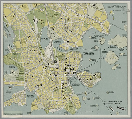
Suomi: Map of Helsinki-Helsingfors 1935 |
|||||||||||||||||||||||
| Description |
Kääntöpuolella kannessa: Finland Travel Bureau Ltd Esplanade 19, Branch Office Stockmanns Department Stores. Kuvailu http://www.doria.fi/handle/10024/91964 |
|||||||||||||||||||||||
| Date | ||||||||||||||||||||||||
| Source |
|
|||||||||||||||||||||||
| Permission (Reusing this file) |
|
|||||||||||||||||||||||
| Geotemporal data | ||||||||||||||||||||||||
| Map location | Helsinki | |||||||||||||||||||||||
| Bounding box |
|
|||||||||||||||||||||||
| Georeferencing | ||||||||||||||||||||||||
| Bibliographic data | ||||||||||||||||||||||||
| Publisher |
Finland Travel Bureau |
|||||||||||||||||||||||
| Archival data | ||||||||||||||||||||||||
| Collection |
|
|||||||||||||||||||||||
| Accession number | ||||||||||||||||||||||||

File history
Click on a date/time to view the file as it appeared at that time.
| Date/Time | Thumbnail | Dimensions | User | Comment | |
|---|---|---|---|---|---|
| current | 12:52, 4 February 2015 | | 4,728 × 4,288 (3.06 MB) | Artturimatias (talk | contribs) |
You cannot overwrite this file.
File usage on Commons
The following page uses this file: