File:KrasnaHora1839.jpg
Jump to navigation
Jump to search

Size of this preview: 800 × 439 pixels. Other resolutions: 320 × 176 pixels | 640 × 351 pixels | 1,024 × 562 pixels | 1,280 × 702 pixels | 3,435 × 1,885 pixels.
Original file (3,435 × 1,885 pixels, file size: 4.13 MB, MIME type: image/jpeg)
Captions
Captions
Add a one-line explanation of what this file represents
Summary
[edit]
| Description |
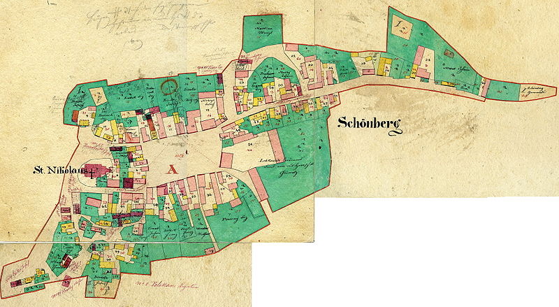
Čeština: Nejstarší katastrální mapa Krásné Hory z roku 1839 |
| Date | |
| Source | PD-self |
| Author | Creator: Libor Gottfried |
Licensing
[edit]
| I, the copyright holder of this work, release this work into the public domain. This applies worldwide. In some countries this may not be legally possible; if so: I grant anyone the right to use this work for any purpose, without any conditions, unless such conditions are required by law. |
File history
Click on a date/time to view the file as it appeared at that time.
| Date/Time | Thumbnail | Dimensions | User | Comment | |
|---|---|---|---|---|---|
| current | 15:03, 1 November 2008 | | 3,435 × 1,885 (4.13 MB) | L.Gottfried (talk | contribs) | {{Information |Description={{cs|1=Nejstarší katastrální mapa Krásné Hory z roku 1839}} |Source=PD-self |Author=Creator: Libor Gottfried |Date=2008 |Permission= |other_versions= }} <!--{{ImageUpload|full}}--> |
You cannot overwrite this file.
File usage on Commons
There are no pages that use this file.
File usage on other wikis
The following other wikis use this file:
- Usage on cs.wikipedia.org
- Usage on de.wikipedia.org