File:IX Araucanía.svg
Jump to navigation
Jump to search

Size of this PNG preview of this SVG file: 500 × 474 pixels. Other resolutions: 253 × 240 pixels | 506 × 480 pixels | 810 × 768 pixels | 1,080 × 1,024 pixels | 2,160 × 2,048 pixels.
Original file (SVG file, nominally 500 × 474 pixels, file size: 564 KB)
Captions
Captions
Add a one-line explanation of what this file represents
| Description |
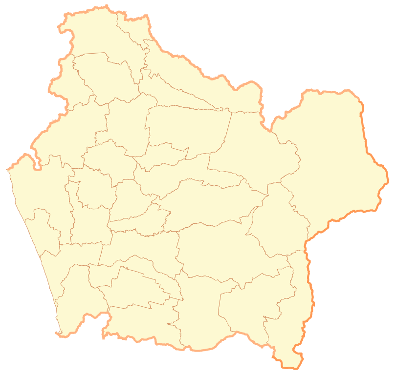
Español: Mapa de la IX Región de la Araucanía |
| Date | |
| Source | Own work |
| Author | B1mbo |
| Permission (Reusing this file) |
I, the copyright holder of this work, hereby publish it under the following license: This file is licensed under the Creative Commons Attribution-Share Alike 2.5 Generic license.
|
| Legal disclaimer
The edition and circulation of maps, geographic charts and other documents about the boundaries and frontiers of Chile, don't have any relation with the Republic of Chile, according to the Article 2 g) of DFL Nº83 of 1979 of the Ministery of Foreign Affairs. La edición y circulación de mapas, cartas geográficas y otros documentos sobre los límites y fronteras de Chile no tienen relación alguna con la República de Chile de acuerdo al artículo 2 g) del DFL Nº83 de 1979 del Ministerio de Relaciones Exteriores. |
File history
Click on a date/time to view the file as it appeared at that time.
| Date/Time | Thumbnail | Dimensions | User | Comment | |
|---|---|---|---|---|---|
| current | 21:58, 30 September 2007 | | 500 × 474 (564 KB) | B1mbo (talk | contribs) | {{Information |Description= {{es|Mapa de la IX Región de la Araucanía}} |Source=own work |Date=30 de septiembre, 2007 |Author=B1mbo |Permission={{self|cc-by-sa-2.5}} |other_versions= }} {{User:B1mbo/Chi |
You cannot overwrite this file.
File usage on Commons
The following 3 pages use this file:
.svg)