File:Chile.Pissis-O-islanavarino.djvu
Jump to navigation
Jump to search

Size of this JPG preview of this DJVU file: 800 × 556 pixels. Other resolutions: 320 × 222 pixels | 640 × 445 pixels | 1,024 × 712 pixels | 1,280 × 890 pixels | 2,560 × 1,779 pixels | 6,425 × 4,466 pixels.
Original file (6,425 × 4,466 pixels, file size: 3.99 MB, MIME type: image/vnd.djvu)
Captions
Captions
Add a one-line explanation of what this file represents
| Description |
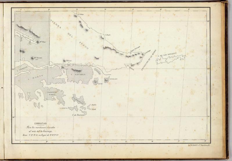
English: 15 maps of the Republic of Chile (lacking sheet #12) published in Santiago de Chile by P.Cadot & Cia. (Huerfanos 25, Santiago) in 1884 with original scale 1:1.000.000 under the title "Mapa de la Republica de Chile desde el Rio Loa hasta el Cabo de Hornos" (53cm x 38cm). Lithographed map. Relief shown by hachures and spot heights, meridian from Santiago de Chile |
||||
| Date | |||||
| Source | http://www.davidrumsey.com/luna/servlet/detail/RUMSEY~8~1~20676~520029:-Mapa-de-la-Republica-de-Chile--15- | ||||
| Author | Aime Pissis (1812-1889) | ||||
| Permission (Reusing this file) |
|
||||
File history
Click on a date/time to view the file as it appeared at that time.
| Date/Time | Thumbnail | Dimensions | User | Comment | |
|---|---|---|---|---|---|
| current | 23:49, 12 September 2008 |  | 6,425 × 4,466 (3.99 MB) | Keysanger (talk | contribs) | {{Information |Description={{en|1=15 maps of the Republic of Chile (lacking sheet #12) published in Santiago de Chile by P.Cadot & Cia. (Huerfanos 25, Santiago) in 1884 with original scale 1:1.000.000 under the title "Mapa de la Republica de Chile desde e |
You cannot overwrite this file.
File usage on Commons
There are no pages that use this file.