File:Cambrian line at Ynyshir - geograph.org.uk - 583505.jpg
Jump to navigation
Jump to search

Size of this preview: 800 × 600 pixels. Other resolutions: 320 × 240 pixels | 640 × 480 pixels | 1,000 × 750 pixels.
Original file (1,000 × 750 pixels, file size: 402 KB, MIME type: image/jpeg)
Captions
Captions
Add a one-line explanation of what this file represents
Summary
[edit]
| Description |
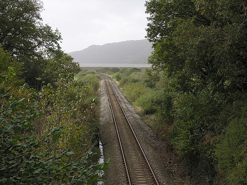
English: Cambrian line at Ynyshir Taken from the occupation bridge over the line at the point where it cuts through the northeastern tail of the rocky mound of Ynyshir, before heading west along the south side of the Dyfi estuary. The line between Machynlleth and Aberystwyth was built by the Aberystwyth & Welsh Coast Railway, which soon merged with the Cambrian Railways. |
| Date | |
| Source | From geograph.org.uk |
| Author | Nigel Brown |
| Attribution (required by the license) | Nigel Brown / Cambrian line at Ynyshir / |
| Camera location | | View this and other nearby images on: OpenStreetMap |
|---|
_heading:270.00&language=en)
| Object location | | View this and other nearby images on: OpenStreetMap |
|---|
_heading:270.00&language=en)
Licensing
[edit]

|
This image was taken from the Geograph project collection. See this photograph's page on the Geograph website for the photographer's contact details. The copyright on this image is owned by Nigel Brown and is licensed for reuse under the Creative Commons Attribution-ShareAlike 2.0 license.
|
This file is licensed under the Creative Commons Attribution-Share Alike 2.0 Generic license.
Attribution: Nigel Brown
- You are free:
- to share – to copy, distribute and transmit the work
- to remix – to adapt the work
- Under the following conditions:
- attribution – You must give appropriate credit, provide a link to the license, and indicate if changes were made. You may do so in any reasonable manner, but not in any way that suggests the licensor endorses you or your use.
- share alike – If you remix, transform, or build upon the material, you must distribute your contributions under the same or compatible license as the original.
File history
Click on a date/time to view the file as it appeared at that time.
| Date/Time | Thumbnail | Dimensions | User | Comment | |
|---|---|---|---|---|---|
| current | 22:19, 27 August 2017 | | 1,000 × 750 (402 KB) | Geograph Update Bot (talk | contribs) | Higher-resolution version from Geograph. |
| 13:20, 6 February 2011 |  | 640 × 480 (81 KB) | GeographBot (talk | contribs) | == {{int:filedesc}} == {{Information |description={{en|1=Cambrian line at Ynyshir Taken from the occupation bridge over the line at the point where it cuts through the northeastern tail of the rocky mound of Ynyshir, before heading west along the south si |
You cannot overwrite this file.
File usage on Commons
The following 5 pages use this file: