File:Baker and West Baker USGS 1947.png
Jump to navigation
Jump to search
Size of this preview: 800 × 386 pixels. Other resolutions: 320 × 154 pixels | 640 × 308 pixels | 1,357 × 654 pixels.
Original file (1,357 × 654 pixels, file size: 1.1 MB, MIME type: image/png)
Captions
Captions
Add a one-line explanation of what this file represents
Summary
[edit]
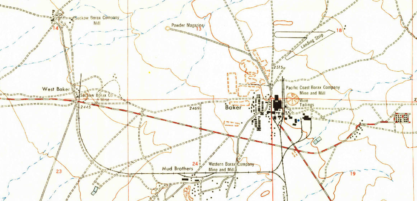
| Description | Excerpt of 1947 USGS Map, Johannesburg SW, CA, showing Baker and West Baker areas. |
| Date | |
| Source | USGS |
| Author | USGS |
| Other versions | https://ngmdb.usgs.gov/ht-bin/tv_browse.pl?id=4ce545d838c31a60ca04cea75d7d2364 |
Licensing
[edit]
This image is in the public domain in the United States because it only contains materials that originally came from the United States Geological Survey, an agency of the United States Department of the Interior. For more information, see the official USGS copyright policy.
|
File history
Click on a date/time to view the file as it appeared at that time.
| Date/Time | Thumbnail | Dimensions | User | Comment | |
|---|---|---|---|---|---|
| current | 15:11, 5 January 2021 | | 1,357 × 654 (1.1 MB) | Milowent (talk | contribs) | {{Information |Description= Excerpt of 1947 USGS Map, Johannesburg SW, CA, showing Baker and West Baker areas. |Source= USGS |Date= 1947 |Author= USGS |Permission= |other_versions= https://ngmdb.usgs.gov/ht-bin/tv_browse.pl?id=4ce545d838c31a60ca04cea75d7d2364 }} |
You cannot overwrite this file.
File usage on Commons
There are no pages that use this file.