File:A map of the British Empire in America with the French and Spanish settlements adjacent thereto LOC 2009582547-4.tif
Jump to navigation
Jump to search

Size of this JPG preview of this TIF file: 800 × 585 pixels. Other resolutions: 320 × 234 pixels | 640 × 468 pixels | 1,024 × 748 pixels | 1,280 × 936 pixels | 2,560 × 1,871 pixels | 8,505 × 6,216 pixels.
Original file (8,505 × 6,216 pixels, file size: 151.25 MB, MIME type: image/tiff)
Captions
Captions
Add a one-line explanation of what this file represents
Summary
[edit]| Description |
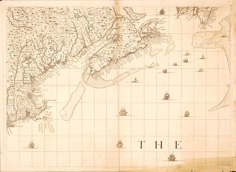
English: Relief shown pictorially. Depths shown by soundings. Title from plate 17. Originally published as 1 map on 20 sheets. LC copy bound. Index map bound-in. Phillips. Maps of America, p. 569 On title cartouche (plate 17): C. Lempriere inv. & del., B. Baron, sculp. Includes notes, dedication, 4 views, and 17 harbor insets. Stamped in blue ink on verso of plates: U.S. Coast Survey Library. Conserved July 15, 1985. Available also through the Library of Congress Web site as a raster image. |
||
| Title | A map of the British Empire in America with the French and Spanish settlements adjacent thereto | ||
| Shelf ID | G1105 .P6 1733b G3300 1733 .P64 Vault | ||
| Parent | https://www.loc.gov/resource/g3300m.gct00397/ | ||
| Sheet title | Sheet 7 | ||
| Date | |||
| Source | https://www.loc.gov/item/2009582547/ | ||
| Author | Popple, Henry; Toms, W. H. (William Henry); Austen, Stephen; Willdey, Thomas; Lemprière, C. (Clement); Baron, Bernard | ||
| Permission (Reusing this file) |
|
||
| Other versions |
|
||
| Location | France · North America · Great Britain · North America. · America · Spain | ||
| Part of | American Memory · General Maps · Catalog · Geography And Map Division | ||
| Subject | France · North America · Maps · Early Works To 1800 · Great Britain · Colonies · America · Spain |


Licensing
[edit]|
This is a faithful photographic reproduction of a two-dimensional, public domain work of art. The work of art itself is in the public domain for the following reason:
The official position taken by the Wikimedia Foundation is that "faithful reproductions of two-dimensional public domain works of art are public domain".
This photographic reproduction is therefore also considered to be in the public domain in the United States. In other jurisdictions, re-use of this content may be restricted; see Reuse of PD-Art photographs for details. | ||||
File history
Click on a date/time to view the file as it appeared at that time.
| Date/Time | Thumbnail | Dimensions | User | Comment | |
|---|---|---|---|---|---|
| current | 06:03, 9 June 2018 |  | 8,505 × 6,216 (151.25 MB) | Fæ (talk | contribs) | LOC Maps multisheet https://www.loc.gov/item/2009582547/ sheet 4 of 6 #14580 |
You cannot overwrite this file.
File usage on Commons
The following page uses this file: