File:0003 Puntal De Cadiz (cropped).jpg
Jump to navigation
Jump to search
Size of this preview: 420 × 600 pixels. Other resolutions: 168 × 240 pixels | 336 × 480 pixels | 538 × 768 pixels | 717 × 1,024 pixels | 1,434 × 2,048 pixels | 4,304 × 6,147 pixels.
Original file (4,304 × 6,147 pixels, file size: 3.45 MB, MIME type: image/jpeg)
Captions
Captions
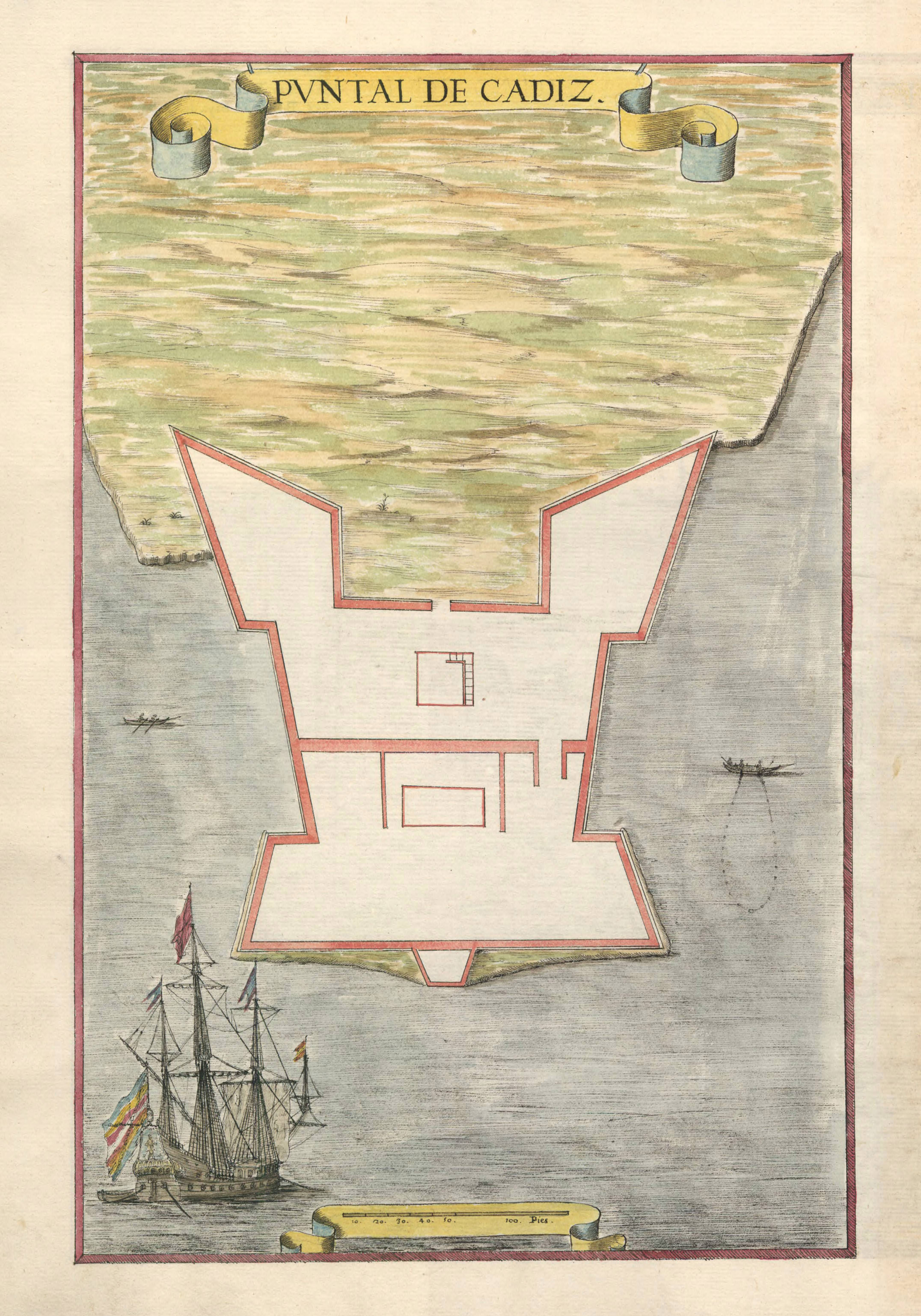
Hand drawn map, Cadiz, Spain
Summary
[edit]| Description |
Svenska: Handritad karta. Cadiz, Spanien. Akvarellmålning på paper.
English: Hand drawn map from the 17th century. Cadiz, Spain. |
||||||||||||||||||||||||||
| Date | |||||||||||||||||||||||||||
| Source |
|
||||||||||||||||||||||||||
| Creator |
Leonardus de Ferrarys |
||||||||||||||||||||||||||
| Permission (Reusing this file) |
|
||||||||||||||||||||||||||
| Georeferencing | If inappropriate please set warp_status = skip to hide. | ||||||||||||||||||||||||||


.jpg&action=edit§ion=1)
Licensing
[edit].jpg&action=edit§ion=2)
|
This work is in the public domain in its country of origin and other countries and areas where the copyright term is the author's life plus 70 years or fewer. | |
| This file has been identified as being free of known restrictions under copyright law, including all related and neighboring rights. | |
This work is in the public domain in the United States because it meets three requirements:
For background information, see the explanations on Non-U.S. copyrights.
Note: This tag should not be used for sound recordings. |
File history
Click on a date/time to view the file as it appeared at that time.
| Date/Time | Thumbnail | Dimensions | User | Comment | |
|---|---|---|---|---|---|
| current | 13:42, 6 March 2024 | | 4,304 × 6,147 (3.45 MB) | Helene Holmberg (Riksarkivet Sverige) (talk | contribs) | Uploaded a work by Leonardus de Ferrarys from https://sok.riksarkivet.se/arkiv/wU8XlcXKS4z4ipCfFcS2R3 with UploadWizard |
You cannot overwrite this file.
File usage on Commons
The following page uses this file:
.jpg&oldid=877030447)